Size of this preview:
800 × 518 pixels. Other resolutions:
320 × 207 pixels |
640 × 414 pixels |
1,024 × 663 pixels |
1,280 × 828 pixels |
2,560 × 1,656 pixels |
5,100 × 3,300 pixels.
Original file (5,100 × 3,300 pixels, file size: 20.87 MB, MIME type: image/jpeg)
| This is a file from the
Wikimedia Commons. Information from its
description page there is shown below. Commons is a freely licensed media file repository. You can help. |
Summary
| Description |
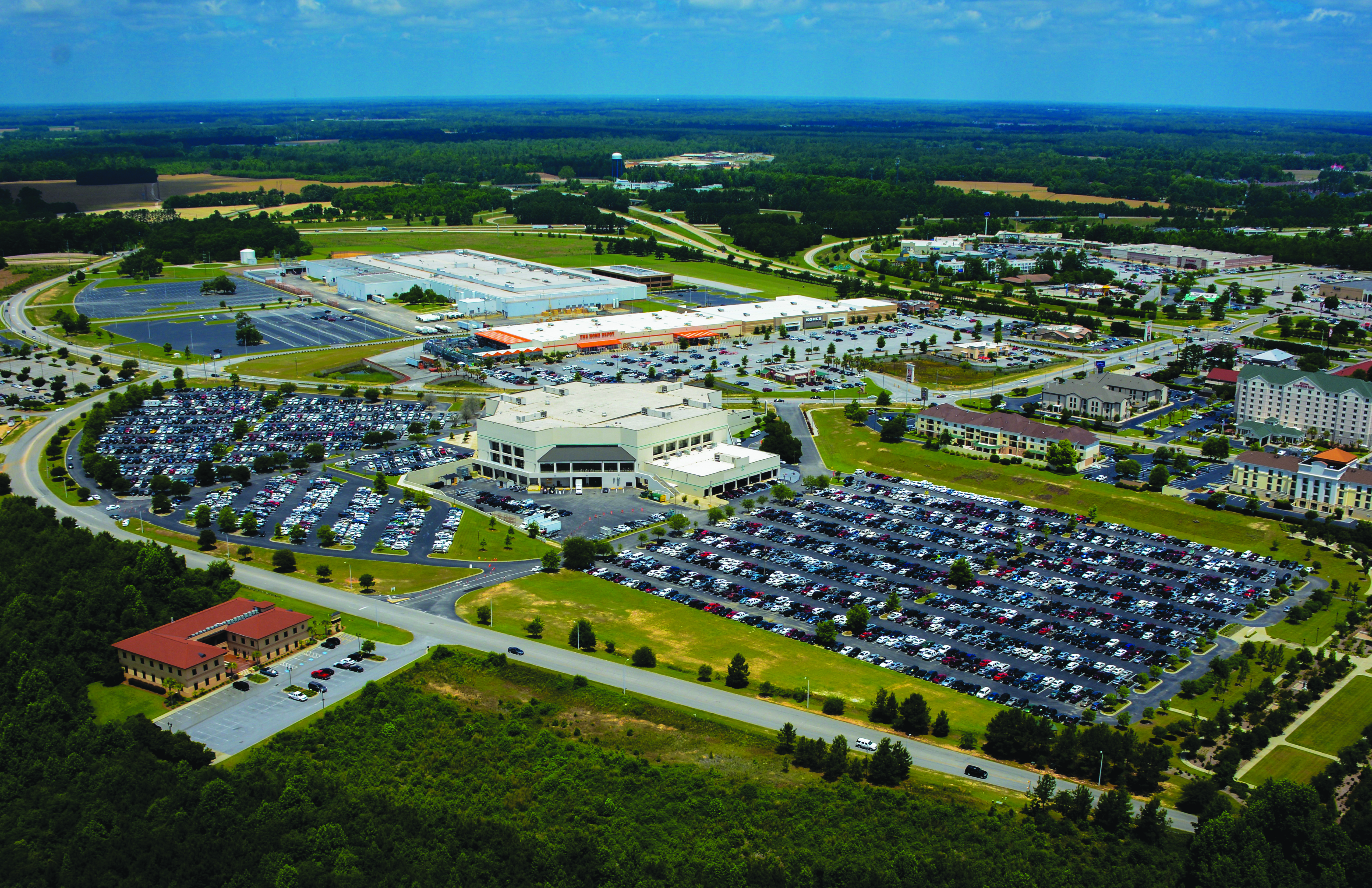
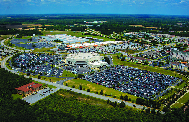
English: An Aerial View of Western Florence, South Carolina, USA near the junction of Interstates I-20 and I-95. |
| Date | |
| Source | Own work |
| Author | Florence Conventions and Visitors Bureau |
Licensing
I, the copyright holder of this work, hereby publish it under the following license:
This file is licensed under the
Creative Commons
Attribution-Share Alike 4.0 International license.
- You are free:
- to share – to copy, distribute and transmit the work
- to remix – to adapt the work
- Under the following conditions:
- attribution – You must give appropriate credit, provide a link to the license, and indicate if changes were made. You may do so in any reasonable manner, but not in any way that suggests the licensor endorses you or your use.
- share alike – If you remix, transform, or build upon the material, you must distribute your contributions under the same or compatible license as the original.
File history
Click on a date/time to view the file as it appeared at that time.
| Date/Time | Thumbnail | Dimensions | User | Comment | |
|---|---|---|---|---|---|
| current | 19:47, 28 March 2016 |
| 5,100 × 3,300 (20.87 MB) | Florence Conventions and Visitors Bureau | User created page with UploadWizard |
File usage
The following pages on the English Wikipedia use this file (pages on other projects are not listed):
Global file usage
The following other wikis use this file:
- Usage on azb.wikipedia.org
- Usage on de.wikipedia.org
- Usage on es.wikipedia.org
- Usage on he.wikipedia.org
- Usage on it.wikipedia.org
- Usage on tr.wikipedia.org
- Usage on uk.wikipedia.org
- Usage on uz.wikipedia.org