
Size of this preview:
800 × 536 pixels. Other resolutions:
320 × 214 pixels |
640 × 428 pixels |
1,024 × 685 pixels |
1,280 × 857 pixels |
2,560 × 1,714 pixels |
3,872 × 2,592 pixels.
Original file (3,872 × 2,592 pixels, file size: 1.08 MB, MIME type: image/jpeg)
| This is a file from the
Wikimedia Commons. Information from its
description page there is shown below. Commons is a freely licensed media file repository. You can help. |
.jpg)
Summary
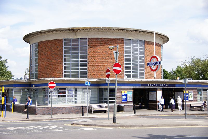
| Description | The old Passimeter has a good exhibition about underground architecture and Charles Holden |
| Date | |
| Source | ARNOS GROVE-03 240710 CPS |
| Author | Chris Sampson |
| Camera location |
| View this and other nearby images on: OpenStreetMap |
|
|---|
.jpg¶ms=051.616072_N_-000.133584_E_globe:Earth_type:camera_source:Flickr_&language=en)
Licensing
This file is licensed under the
Creative Commons
Attribution 2.0 Generic license.
- You are free:
- to share – to copy, distribute and transmit the work
- to remix – to adapt the work
- Under the following conditions:
- attribution – You must give appropriate credit, provide a link to the license, and indicate if changes were made. You may do so in any reasonable manner, but not in any way that suggests the licensor endorses you or your use.
| This image was originally posted to Flickr by HHA124L at https://www.flickr.com/photos/87347455@N00/4837089899. It was reviewed on 10 April 2014 by FlickreviewR and was confirmed to be licensed under the terms of the cc-by-2.0. |
File history
Click on a date/time to view the file as it appeared at that time.
| Date/Time | Thumbnail | Dimensions | User | Comment | |
|---|---|---|---|---|---|
| current | 21:14, 10 April 2014 |
| 3,872 × 2,592 (1.08 MB) | Ultra7 | Transferred from Flickr via Flickr2commons |
File usage
The following pages on the English Wikipedia use this file (pages on other projects are not listed):
Global file usage
The following other wikis use this file:
- Usage on ar.wikipedia.org
- Usage on es.wikipedia.org
- Usage on hu.wikipedia.org
- Usage on lmo.wikipedia.org
- Usage on uk.wikipedia.org
- Usage on ur.wikipedia.org
- Usage on www.wikidata.org
.jpg)