Size of this preview:
800 × 545 pixels. Other resolutions:
320 × 218 pixels |
640 × 436 pixels |
1,024 × 698 pixels |
1,280 × 873 pixels |
2,560 × 1,745 pixels |
4,242 × 2,892 pixels.
Original file (4,242 × 2,892 pixels, file size: 4.35 MB, MIME type: image/jpeg)
| This is a file from the
Wikimedia Commons. Information from its
description page there is shown below. Commons is a freely licensed media file repository. You can help. |
Summary
| Description |
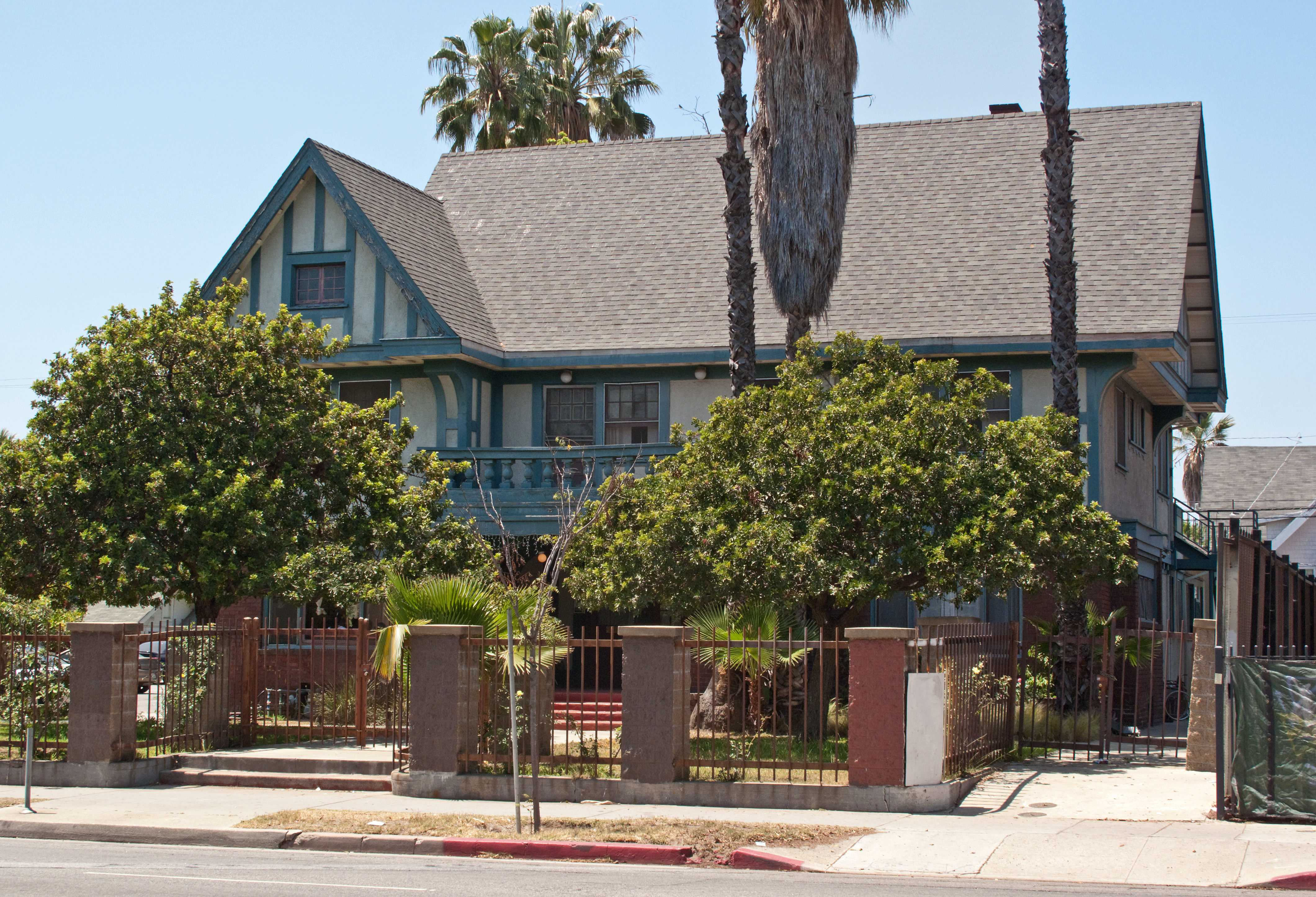
English: Thomas Potter residence, in the Pico-Union neighborhood of Los Angeles, California. Los Angeles Historic-Cultural Monument #327. |
| Date | |
| Source | Own work |
| Author | Downtowngal |
| Camera location | | View this and other nearby images on: OpenStreetMap |
|
|---|
Licensing
I, the copyright holder of this work, hereby publish it under the following license:
This file is licensed under the
Creative Commons
Attribution-Share Alike 3.0 Unported license.
- You are free:
- to share – to copy, distribute and transmit the work
- to remix – to adapt the work
- Under the following conditions:
- attribution – You must give appropriate credit, provide a link to the license, and indicate if changes were made. You may do so in any reasonable manner, but not in any way that suggests the licensor endorses you or your use.
- share alike – If you remix, transform, or build upon the material, you must distribute your contributions under the same or compatible license as the original.
File history
Click on a date/time to view the file as it appeared at that time.
| Date/Time | Thumbnail | Dimensions | User | Comment | |
|---|---|---|---|---|---|
| current | 16:40, 1 June 2013 |
| 4,242 × 2,892 (4.35 MB) | Downtowngal | User created page with UploadWizard |
File usage
The following pages on the English Wikipedia use this file (pages on other projects are not listed):