
Size of this preview:
427 × 600 pixels. Other resolutions:
171 × 240 pixels |
342 × 480 pixels |
547 × 768 pixels |
729 × 1,024 pixels |
1,458 × 2,048 pixels |
3,000 × 4,213 pixels.
Original file (3,000 × 4,213 pixels, file size: 7.53 MB, MIME type: image/jpeg)
| This is a file from the
Wikimedia Commons. Information from its
description page there is shown below. Commons is a freely licensed media file repository. You can help. |
Summary
| Description |
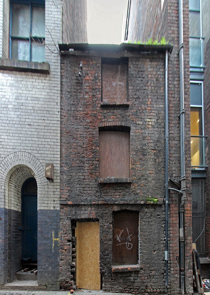
English: Front elevation of 10 Hockenhall Alley. |
| Date | |
| Source | Own work |
| Author | Rodhullandemu |
| Object location |
| View this and other nearby images on: OpenStreetMap |
|
|---|
Licensing

|
The copyright holder of this file, User:Rodhullandemu, allows anyone to use it for any purpose, provided that the copyright holder is properly attributed. Redistribution, derivative work, commercial use, and all other use is permitted. |
Attribution:
By Phil Nash from Wikimedia Commons CC BY-SA 4.0 & GFDL Views
|

|
This image has been assessed under the valued image criteria and is considered the most valued image on Commons within the scope: 10 Hockenhall Alley. You can see its nomination here. |
File history
Click on a date/time to view the file as it appeared at that time.
| Date/Time | Thumbnail | Dimensions | User | Comment | |
|---|---|---|---|---|---|
| current | 17:26, 21 November 2018 |
| 3,000 × 4,213 (7.53 MB) | Rodhullandemu | User created page with UploadWizard |
File usage
The following pages on the English Wikipedia use this file (pages on other projects are not listed):
Global file usage
The following other wikis use this file:
- Usage on www.wikidata.org