
Size of this preview:
800 × 600 pixels. Other resolutions:
320 × 240 pixels |
640 × 480 pixels |
1,024 × 768 pixels |
1,280 × 960 pixels |
2,560 × 1,920 pixels |
4,608 × 3,456 pixels.
Original file (4,608 × 3,456 pixels, file size: 7.24 MB, MIME type: image/jpeg)
| This is a file from the
Wikimedia Commons. Information from its
description page there is shown below. Commons is a freely licensed media file repository. You can help. |
Summary
| Description |
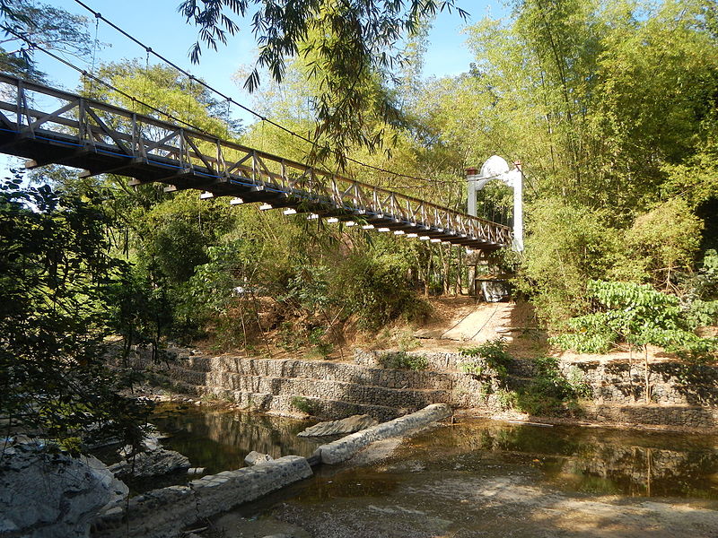
English: Salangan-Santa Rita Bata-Santa Rita Matanda-San Juan-Tibagan-Pulong Bayabas-Pacalag, San Miguel-Buhol na Mangga, San Ildefonso, Bulacan National Road interconnecting with the Sibul Springs-BiaknaBato, San Miguel, Bulacan Farm to Market Road in
Barangays Salangan-Santa Rita Bata-Santa Rita Matanda-San Juan-Tibagan-Pulong Bayabas-Pacalag
Biak-na-Bato, Zone 2-3, beside
Sibul Springs and
Pacalag,
San Miguel, Bulacan, besode Buhol na Mangga, San Ildefonso, Bulacan (accessed along and from the
Maharlika Highway (Cagayan Valley Road, San Miguel, Bulacan section) of the
Pan-Philippine Highway, also known as the Maharlika "Nobility/freeman" Highway or Asian Highway 26, Cagayan Valley Road). |
| Date | |
| Source | Own work |
| Author | Judgefloro |
Licensing
| I, the copyright holder of this work, release this work into the
public domain. This applies worldwide. In some countries this may not be legally possible; if so: I grant anyone the right to use this work for any purpose, without any conditions, unless such conditions are required by law. |
File history
Click on a date/time to view the file as it appeared at that time.
| Date/Time | Thumbnail | Dimensions | User | Comment | |
|---|---|---|---|---|---|
| current | 17:06, 30 March 2016 |
| 4,608 × 3,456 (7.24 MB) | Judgefloro | User created page with UploadWizard |
File usage
No pages on the English Wikipedia use this file (pages on other projects are not listed).