Size of this preview:
800 × 357 pixels. Other resolutions:
320 × 143 pixels |
640 × 286 pixels |
1,024 × 457 pixels |
1,280 × 571 pixels |
2,560 × 1,143 pixels |
4,835 × 2,158 pixels.
Original file (4,835 × 2,158 pixels, file size: 11.27 MB, MIME type: image/jpeg)
| This is a file from the
Wikimedia Commons. Information from its
description page there is shown below. Commons is a freely licensed media file repository. You can help. |
_at_Liverpool_3.jpg)
Summary
| Description |
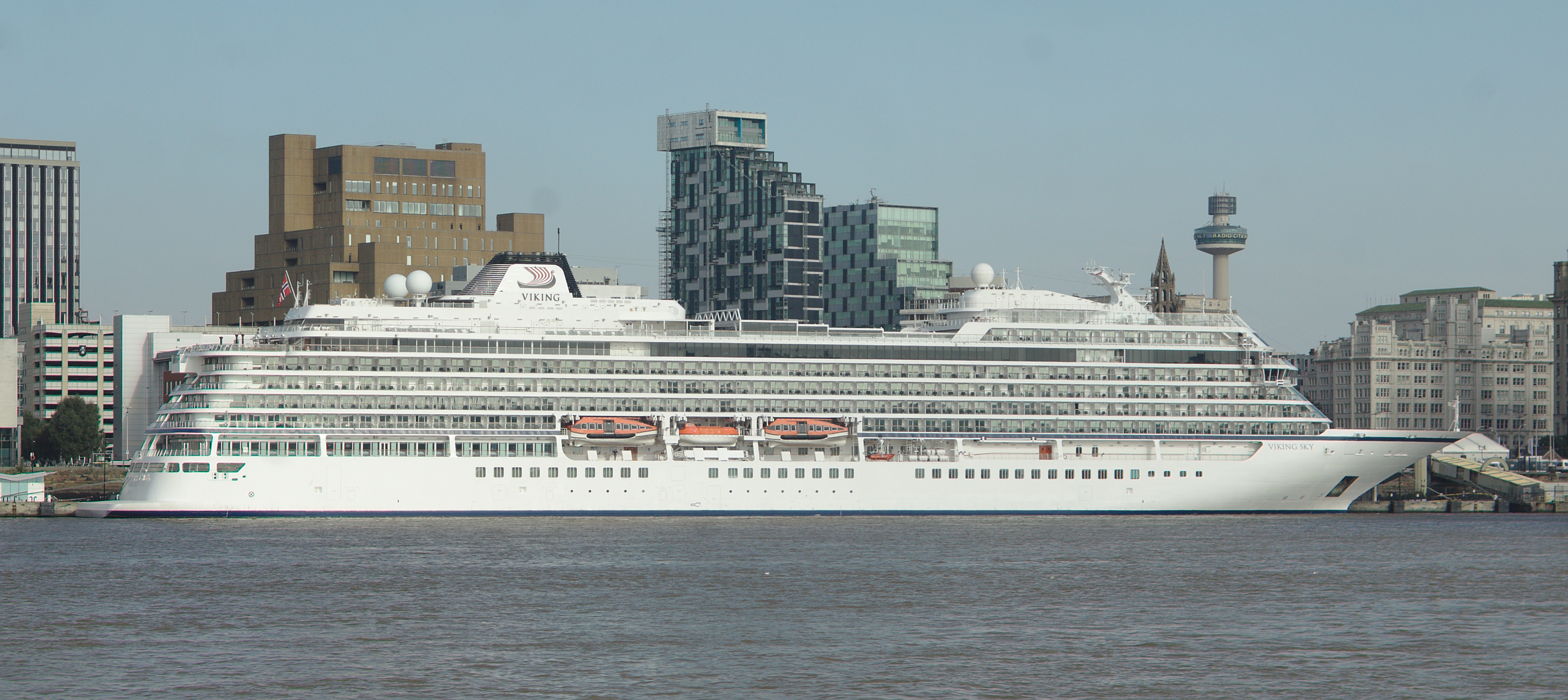
English: View of the starboard side of Viking Sky at Liverpool Cruise Terminal |
| Date | |
| Source | Own work |
| Author | Rodhullandemu |
| Object location |
| View this and other nearby images on: OpenStreetMap |
|
|---|
_at_Liverpool_3.jpg¶ms=053.407658_N_-003.000836_E_globe:Earth_class:object_type:object_scale:1000_&language=en)
Licensing

|
The copyright holder of this file, User:Rodhullandemu, allows anyone to use it for any purpose, provided that the copyright holder is properly attributed. Redistribution, derivative work, commercial use, and all other use is permitted. |
Attribution:
By Phil Nash from Wikimedia Commons CC BY-SA 4.0 & GFDL Views
|
_at_Liverpool_3.jpg)
File history
Click on a date/time to view the file as it appeared at that time.
| Date/Time | Thumbnail | Dimensions | User | Comment | |
|---|---|---|---|---|---|
| current | 19:58, 16 September 2021 |
| 4,835 × 2,158 (11.27 MB) | Rodhullandemu | Uploaded own work with UploadWizard |
File usage
The following pages on the English Wikipedia use this file (pages on other projects are not listed):
_at_Liverpool_3.jpg)