
Size of this PNG preview of this SVG file:
536 × 600 pixels. Other resolutions:
214 × 240 pixels |
429 × 480 pixels |
686 × 768 pixels |
915 × 1,024 pixels |
1,830 × 2,048 pixels |
1,131 × 1,266 pixels.
Original file (SVG file, nominally 1,131 × 1,266 pixels, file size: 355 KB)
| This is a file from the
Wikimedia Commons. Information from its
description page there is shown below. Commons is a freely licensed media file repository. You can help. |
| Description |
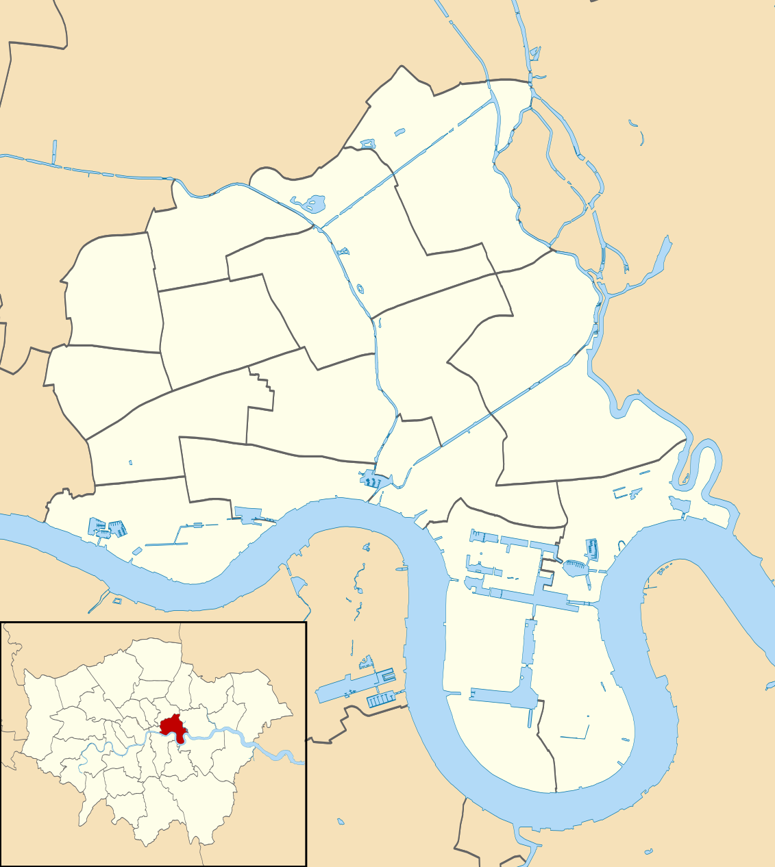
Blank map of the London Borough of Tower Hamlets, showing electoral wards. Equirectangular map projection on WGS 84 datum, with N/S stretched 160% Geographic limits:
|
| Date | |
| Source |
|
| Author | Nilfanion |
| Permission ( Reusing this file) |
This file is licensed under the
Creative Commons
Attribution-Share Alike 3.0 Unported license. Attribution: Contains Ordnance Survey data © Crown copyright and database right
|
File history
Click on a date/time to view the file as it appeared at that time.
| Date/Time | Thumbnail | Dimensions | User | Comment | |
|---|---|---|---|---|---|
| current | 22:19, 28 July 2011 |
| 1,131 × 1,266 (355 KB) | Nilfanion | {{Information |Description=Blank map of the London Borough of Tower Hamlets, showing electoral wards. Equirectangular map projection on WGS 84 datum, with N/S stretched 160% Geographic limits: *West: 0.085W *East: 0 |
File usage
The following pages on the English Wikipedia use this file (pages on other projects are not listed):
Global file usage
The following other wikis use this file:
- Usage on he.wikipedia.org
- גשר מצודת לונדון
- תעלת ריג'נטס
- מצודת לונדון
- שוק הדגים של בילינגסגייט
- מילוול
- הבריכה של לונדון
- אנדרטת גבעת מצודת לונדון
- גני איילנד
- פארק מייל אנד
- פארק ויקטוריה
- כיכר קנדה 8
- רחוב בנק 25
- בית קאראדייל
- בית גלנקרי
- מוזיאון הילדות V&A
- רחוב בנק העליון 10
- מנהרת רות'רהית'
- מוזיאון הדוקלנדס של לונדון
- קנרי וורף
- דוקלנדס
- אייל אוף דוגס
- תכשיטי הכתר של הממלכה המאוחדת
- בית התכשיטים
- מוזיאון ברונל
- וופינג
- סטפני
- שוק ספיטלפילדס הישן
- שוק פטיקוט ליין
- המגדל הלבן של מצודת לונדון
- משט יובל היהלום
- וייטצ'אפל
- אסון בת'נל גרין
- תבנית:מפת מיקום/טאוור האמלטס
- שוק בריק ליין
- מעגנות לונדון
- אקסקיושן דוק
- Usage on pl.wikipedia.org
- Tower of London
- One Canada Square
- 25 Canada Square
- 8 Canada Square
- Canary Wharf (stacja metra)
- One Churchill Place
- 25 Bank Street
- Synagoga Fieldgate w Londynie
- Królewska Kaplica pw. Świętego Piotra w Okowach
- Riverside South
- 10 Upper Bank Street
- 40 Bank Street
- Pan Peninsula Tower
- Bethnal Green (stacja kolejowa)
View more global usage of this file.