
Size of this preview:
800 × 556 pixels. Other resolutions:
320 × 222 pixels |
640 × 445 pixels |
1,024 × 711 pixels |
1,280 × 889 pixels.
Original file (1,280 × 889 pixels, file size: 183 KB, MIME type: image/jpeg)
Summary
| Description |
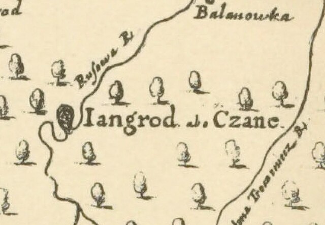
The image is Delineatio Specialis Et Accurata Ukrainae Cum Suis Palatinatibus Ac Districti[bus] Provincysq[ue] Adiacentibus Bono Publico by Guillaume Levasseur de Beauplan, edition of Willem Hondius, produced in Gdansk, Poland 1651. |
|---|---|
| Source |
This is the crop of the bigger map that is stored already on Wikimedia Commons here: File:Delineatio Specialis Et Accurata Ukrainae.jpg but in a much better quality |
| Date |
1651 |
| Author |
Guillaume Levasseur de Beauplan, edition of Willem Hondius |
| Permission ( Reusing this file) |
See below. |
| Other versions |  |
Licensing
| This file is in the
public domain because its copyright has expired in the United States and those countries with a copyright term of no more than the life of the author plus 100 years.
|
File history
Click on a date/time to view the file as it appeared at that time.
| Date/Time | Thumbnail | Dimensions | User | Comment | |
|---|---|---|---|---|---|
| current | 10:56, 12 December 2023 |
| 1,280 × 889 (183 KB) | Iaroslav Gerashchenko ( talk | contribs) |
You cannot overwrite this file.
File usage
The following pages on the English Wikipedia use this file (pages on other projects are not listed):