Size of this preview:
772 × 599 pixels. Other resolutions:
309 × 240 pixels |
619 × 480 pixels |
990 × 768 pixels |
1,280 × 994 pixels |
2,181 × 1,693 pixels.
Original file (2,181 × 1,693 pixels, file size: 1.13 MB, MIME type: image/jpeg)
| This is a file from the
Wikimedia Commons. Information from its
description page there is shown below. Commons is a freely licensed media file repository. You can help. |
Summary
| Description |
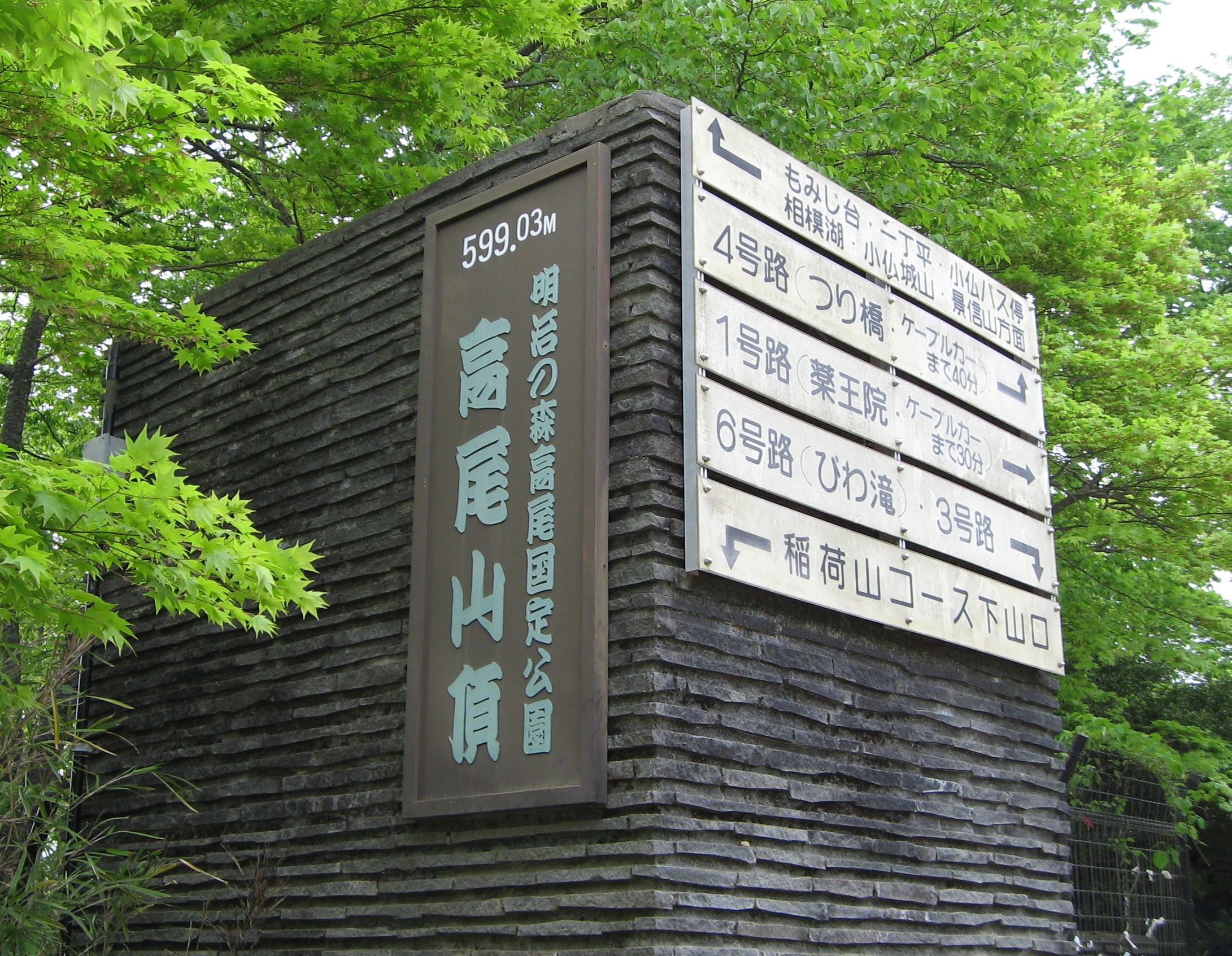
English: Sign of Summit of
Mt. Takao in Hachioji, Tokyo, Japan.
日本語:
高尾山山頂の標識(東京都八王子市) |
| Date | |
| Source | Own work |
| Author | Nikm |
| Camera location |
| View this and other nearby images on: OpenStreetMap |
|
|---|
Licensing
| I, the copyright holder of this work, release this work into the
public domain. This applies worldwide. In some countries this may not be legally possible; if so: I grant anyone the right to use this work for any purpose, without any conditions, unless such conditions are required by law. |
File history
Click on a date/time to view the file as it appeared at that time.
| Date/Time | Thumbnail | Dimensions | User | Comment | |
|---|---|---|---|---|---|
| current | 11:24, 5 May 2009 |
| 2,181 × 1,693 (1.13 MB) | Nikm | {{Information |Description={{en|1=Sign of Summit of Mt. Takao in Hachioji, Tokyo, Japan.}} {{ja|1= 高尾山山頂の標識(東京都八王子市)}} |Source=Own work by uploader |Author= Nikm |Date=May |
File usage
The following pages on the English Wikipedia use this file (pages on other projects are not listed):
Global file usage
The following other wikis use this file:
- Usage on ar.wikipedia.org
- Usage on azb.wikipedia.org
- Usage on az.wikipedia.org
- Usage on da.wikipedia.org
- Usage on fa.wikipedia.org
- Usage on id.wikipedia.org
- Usage on ja.wikipedia.org
- Usage on ru.wikipedia.org
- Usage on zh.wikipedia.org