
Size of this PNG preview of this SVG file:
612 × 437 pixels. Other resolutions:
320 × 228 pixels |
640 × 457 pixels |
1,024 × 731 pixels |
1,280 × 914 pixels |
2,560 × 1,828 pixels.
Original file (SVG file, nominally 612 × 437 pixels, file size: 808 KB)
| This is a file from the
Wikimedia Commons. Information from its
description page there is shown below. Commons is a freely licensed media file repository. You can help. |
Summary
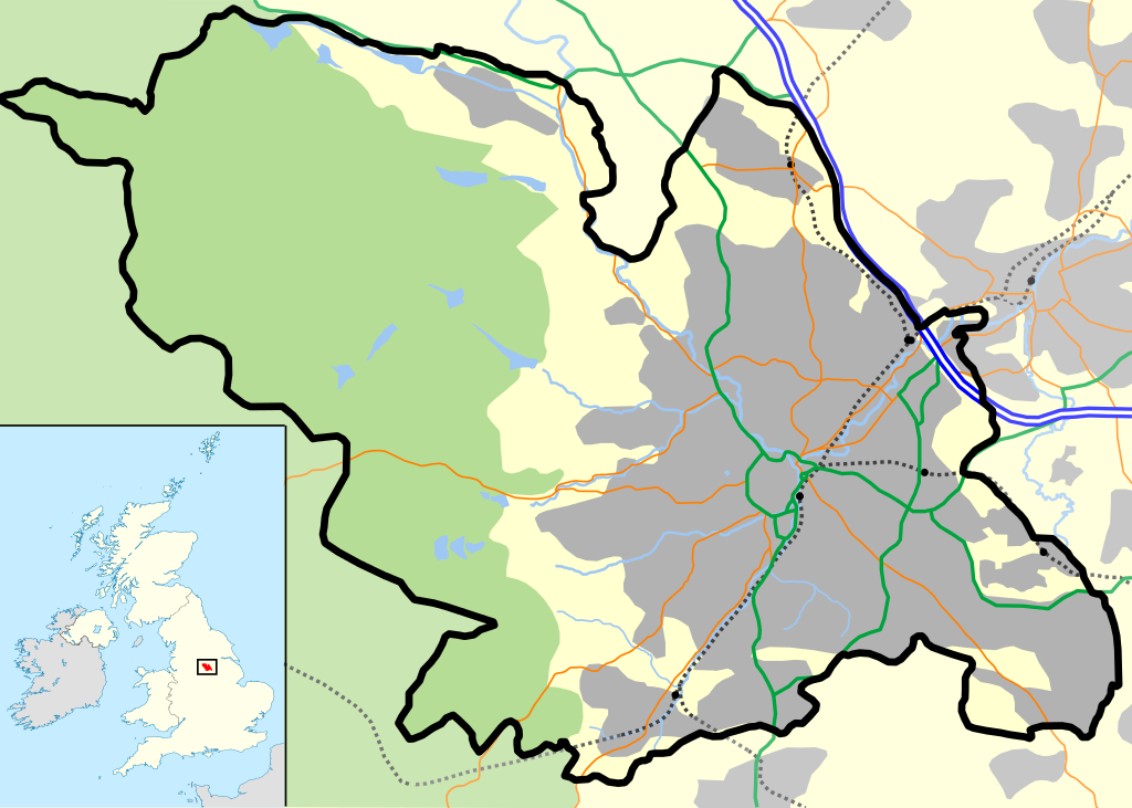
| Description | Sheffield outline, showing motorways and urban areas. |
| Date | |
| Source | Mapping is derived from Open Street Map data, which is licensed under a creative commons attribution sharealike licence. UK outline is File:Uk outline map.png, which is licensed under the GFDL. |
| Author | JeremyA |
| Permission ( Reusing this file) |
Permission is granted for reuse only under the terms of the below licence. |
| SVG development |
This
vector image includes elements that have been taken or adapted from this file:
Licensing
I, the copyright holder of this work, hereby publish it under the following license:
This file is licensed under the
Creative Commons
Attribution-Share Alike 2.0 Generic license.
- You are free:
- to share – to copy, distribute and transmit the work
- to remix – to adapt the work
- Under the following conditions:
- attribution – You must give appropriate credit, provide a link to the license, and indicate if changes were made. You may do so in any reasonable manner, but not in any way that suggests the licensor endorses you or your use.
- share alike – If you remix, transform, or build upon the material, you must distribute your contributions under the same or compatible license as the original.
File history
Click on a date/time to view the file as it appeared at that time.
| Date/Time | Thumbnail | Dimensions | User | Comment | |
|---|---|---|---|---|---|
| current | 15:37, 7 October 2012 |
| 612 × 437 (808 KB) | Cwbm (commons) | replaced raster graphic with vector file |
| 22:35, 29 April 2007 |
 | 612 × 437 (135 KB) | JeremyA |
File usage
The following pages on the English Wikipedia use this file (pages on other projects are not listed):
- 2022 Sheffield gas supply outage
- Attercliffe
- Bolsterstone
- Bramall Lane
- Brightside, Sheffield
- Brutalism in Sheffield
- Burngreave
- Butchers Wheel
- Carbrook, Sheffield
- Cathedral Church of St Marie, Sheffield
- Chapeltown, South Yorkshire
- Christ Church, Fulwood, Sheffield
- Christ Church, Pitsmoor
- Crookes
- Crosspool
- Dale Dike Reservoir
- Darnall
- Darnall Works
- Deepcar
- Drama Studio, University of Sheffield
- East Ecclesfield
- Ewden Valley
- Fulwood, Sheffield
- Gleadless
- Gleadless Valley
- Great Sheffield Flood
- Grenoside
- Hallamshire
- High Bradfield
- High Green
- Hillsborough, Sheffield
- Hillsborough (ward)
- Hillsborough Stadium
- Hillsborough disaster
- Hollow Meadows
- Killamarsh murders
- Listed buildings in Sheffield
- Longley, Sheffield
- Low Bradfield
- Loxley, South Yorkshire
- Madina Mosque, Sheffield
- Midhopestones
- Millhouses Park
- Millhouses and Ecclesall railway station
- Neepsend
- Netherthorpe, Sheffield
- Norton Lees
- Octagon Centre
- Old Queen's Head
- Oughtibridge
- Page Hall
- Parkhead Hall
- Pinstone Street
- Pitsmoor
- Ranmoor
- Redmires Reservoirs
- Sacred Heart Church, Hillsborough
- Sheffield Cathedral
- Sheffield City Airport
- Sheffield City Centre
- Shepherd Wheel
- Shiregreen child murders
- Site Gallery
- St Catherine of Siena, Richmond
- St George's Church, Portobello
- St James, Norton
- St Mary's Church, Bramall Lane
- St Mary's Church, Handsworth, Sheffield
- St Paul's Church, Sheffield
- St Peter, Greenhill
- St Silas Church, Sheffield
- St Thomas, Brightside
- Stannington, Sheffield
- Steel City derby
- The Moor Quarter
- Transport in Sheffield
- Upper Chapel
- Upper Midhope
- Upperthorpe, Sheffield
- Victoria Quays
- Wadsley Bridge
- West End, Sheffield
- Wharncliffe Side
- Whirlow
- Wilson Road Synagogue
- Wincobank (hill fort)
- User:Captain scarlet/Sandbox
- User:Lewisskinner/Sheffield map test
- User:Niallzi/sandbox
- User talk:JeremyA/Archive10
- Wikipedia talk:WikiProject Sheffield/Archive2
- Wikipedia talk:WikiProject UK geography/Archive 11
- Module:Location map/data/Sheffield
- Module:Location map/data/United Kingdom Sheffield
- Module:Location map/data/United Kingdom Sheffield/doc
Global file usage
The following other wikis use this file:
- Usage on ar.wikipedia.org
- Usage on ceb.wikipedia.org
- Usage on el.wikipedia.org
- Usage on fa.wikipedia.org
- Usage on kn.wikipedia.org
- Usage on ml.wikipedia.org
- Usage on si.wikipedia.org
- Usage on th.wikipedia.org
- Usage on tr.wikipedia.org
- Usage on war.wikipedia.org
- Usage on zh.wikipedia.org