
Size of this PNG preview of this SVG file:
488 × 599 pixels. Other resolutions:
195 × 240 pixels |
391 × 480 pixels |
626 × 768 pixels |
834 × 1,024 pixels |
1,668 × 2,048 pixels |
4,024 × 4,940 pixels.
Original file (SVG file, nominally 4,024 × 4,940 pixels, file size: 106 KB)
| This is a file from the
Wikimedia Commons. Information from its
description page there is shown below. Commons is a freely licensed media file repository. You can help. |
Summary
| Description |
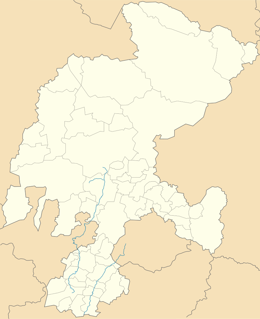
English: Location Map of Zacatecas Equirectangular projection, Geographic limits of the map:
|
| Date | |
| Source | Own work |
| Author | MikSed |
Licensing
I, the copyright holder of this work, hereby publish it under the following license:
This file is licensed under the
Creative Commons
Attribution-Share Alike 3.0 Unported license.
- You are free:
- to share – to copy, distribute and transmit the work
- to remix – to adapt the work
- Under the following conditions:
- attribution – You must give appropriate credit, provide a link to the license, and indicate if changes were made. You may do so in any reasonable manner, but not in any way that suggests the licensor endorses you or your use.
- share alike – If you remix, transform, or build upon the material, you must distribute your contributions under the same or compatible license as the original.
File history
Click on a date/time to view the file as it appeared at that time.
| Date/Time | Thumbnail | Dimensions | User | Comment | |
|---|---|---|---|---|---|
| current | 16:17, 18 August 2023 |
| 4,024 × 4,940 (106 KB) | GrandEscogriffe | more correct north-south stretching |
| 04:40, 16 February 2014 |
 | 4,024 × 5,111 (126 KB) | Battroid | =={{int:filedesc}}== {{Information |description={{en|1=Location Map of Zacatecas Equirectangular projection, Geographic limits of the map: * N: 25.19° N * S: 21.00° N * W: 104.40° W * E: 100.69° W}} |date=2013-07-21 |source={{own}} |author=[[User:M... | |
| 09:36, 22 July 2013 |
 | 4,024 × 5,111 (84 KB) | MikSed | User created page with UploadWizard |
File usage
The following pages on the English Wikipedia use this file (pages on other projects are not listed):
- 2010–11 Tercera División de México season
- 2011–12 Tercera División de México season
- 2012–13 Tercera División de México season
- 2013–14 Tercera División de México season
- 2014–15 Tercera División de México season
- 2015–16 Tercera División de México season
- 2016–17 Tercera División de México season
- 2017–18 Tercera División de México season
- 2018–19 Liga TDP season
- 2019–20 Liga TDP season
- 2020–21 Liga TDP season
- 2021–22 Liga TDP season
- 2022–23 Liga TDP season
- 2023–24 Liga TDP season
- Apozol
- Apulco
- Atolinga
- Cuauhtémoc Municipality, Zacatecas
- El Salvador, Zacatecas
- Fresnillo
- Genaro Codina, Zacatecas
- General Pánfilo Natera Municipality
- Guadalupe, Zacatecas
- Jalpa, Zacatecas
- Jerez de García Salinas
- Juchipila
- Luis Moya, Zacatecas
- Mazapil
- Mezquital del Oro
- Miguel Auza Municipality
- Milpillas de Allende
- Momax
- Morelos, Zacatecas
- Nochistlán
- Noria de Ángeles
- Ojitos de Santa Lucía
- Pedregoso, Zacatecas
- Pánuco, Zacatecas
- Río Grande, Zacatecas
- Santa Lucía de la Sierra, Zacatecas
- Santa María de la Paz
- Saín Alto
- Sombrerete, Zacatecas
- Susticacán
- Tlaltenango de Sánchez Román Municipality
- Trinidad García de la Cadena, Zacatecas
- Valparaíso, Zacatecas
- Villa González Ortega
- Villa Hidalgo, Zacatecas
- Villa Insurgentes
- Villanueva, Zacatecas
- Zacatecas (city)
- Zacatecas International Airport
- Module:Location map/data/Mexico Zacatecas
- Module:Location map/data/Mexico Zacatecas/doc
- Module:Location map/data/Zacatecas
Global file usage
The following other wikis use this file:
- Usage on ce.wikipedia.org
- Usage on de.wikipedia.org
- Zacatecas (Stadt)
- Wikipedia:Kartenwerkstatt/Positionskarten/Nordamerika
- Estadio Francisco Villa
- Fresnillo
- Vorlage:Positionskarte Mexiko Zacatecas
- Jerez de García Salinas
- Nationalpark Sierra de Órganos
- Pinos (Zacatecas)
- Sombrerete
- Teúl de González Ortega
- Nochistlán
- Chalchihuites
- Guadalupe (Zacatecas)
- Valparaíso (Zacatecas)
- Villa González Ortega
- Tlaltenango de Sánchez Román
- Usage on eo.wikipedia.org
- Zacatecas
- Apulco
- Atolinga
- Benito Juárez (Zacatecas)
- Concepción del Oro
- Cuauhtémoc (Zacatecas)
- Chalchihuites
- Fresnillo
- Trinidad García de la Cadena
- Genaro Codina
- General Enrique Estrada
- Guadalupe (Zacatecas)
- Jalpa
- Jerez (Zacatecas)
- Juan Aldama
- Loreto (Zacatecas)
- Mazapil
- Mezquital del Oro
- Miguel Auza
- Momax
- Monte Escobedo
- Morelos (Zacatecas)
- Moyahua de Estrada
- Nochistlán de Mejía
- Ojocaliente
- Pánuco (Zacatecas)
- Río Grande (Zacatecas)
- Saín Alto
- Sombrerete
- Tabasco (Zacatecas)
- Tepetongo
- Teul de González Ortega
- Tlaltenango de Sánchez Román
View more global usage of this file.