
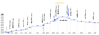
Size of this PNG preview of this SVG file:
800 × 283 pixels. Other resolutions:
320 × 113 pixels |
640 × 227 pixels |
1,024 × 362 pixels |
1,280 × 453 pixels |
2,560 × 906 pixels |
1,500 × 531 pixels.
Original file (SVG file, nominally 1,500 × 531 pixels, file size: 80 KB)
| This is a file from the
Wikimedia Commons. Information from its
description page there is shown below. Commons is a freely licensed media file repository. You can help. |
Summary
| Description |
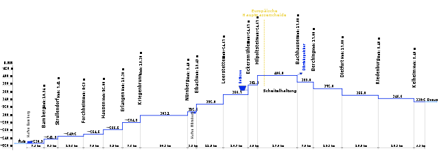
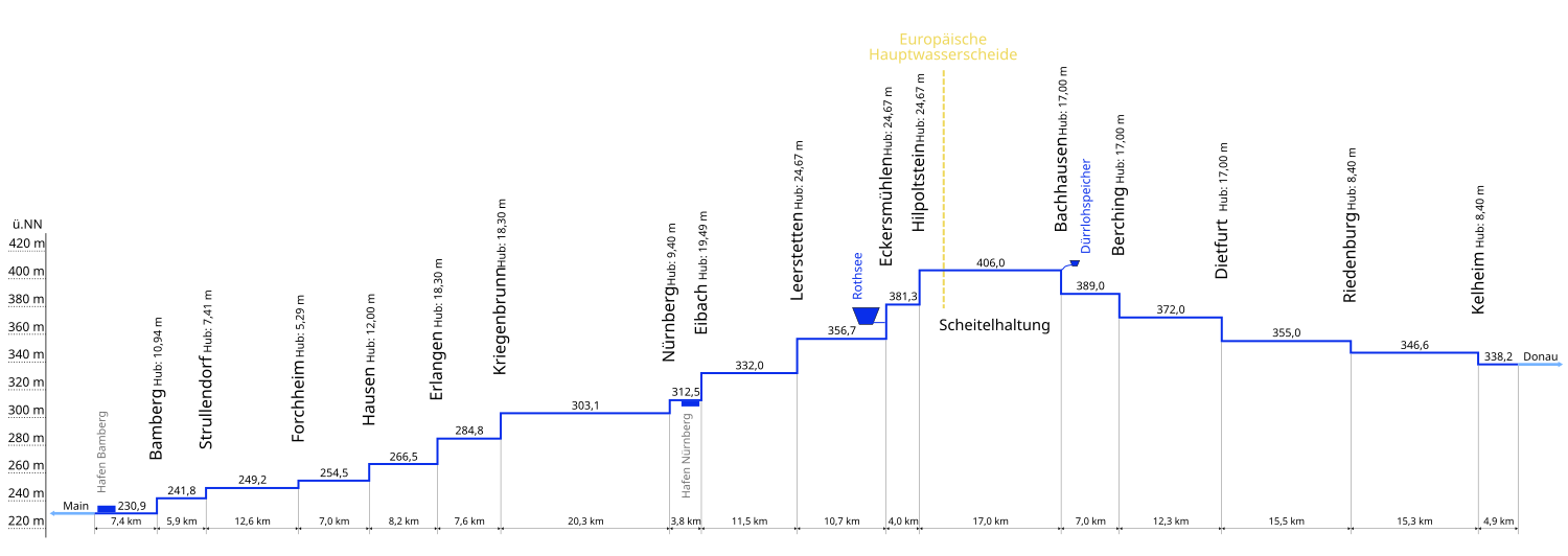
Deutsch: Grafik des Höhenverlaufs des
Main-Donau-Kanals. Beschrieben sind die Höhen der Haltung über NN sowie die Länge der Kanalabschnitte, die Schleusen mit ihrem jeweiligen Hub. Zusätzlich sind die beiden großen Wasserspeicher, die beiden großen Häfen und die Lage der Hauptwasserscheide eingezeichnet. Beide Achsen für sich sind maßstabsgetreu; die Y-Achse ist gegenüber der X-Achse 166-fach überhöht.
English: Graphic of the
Rhine-Main-Danube Canal. |
| Date | |
| Source | Own work |
| Author | jailbird |
| SVG development | This diagram was created with
Inkscape. This diagram uses embedded text that can be
easily translated using a text editor. |
Licensing
| I, the copyright holder of this work, release this work into the
public domain. This applies worldwide. In some countries this may not be legally possible; if so: I grant anyone the right to use this work for any purpose, without any conditions, unless such conditions are required by law. |
File history
Click on a date/time to view the file as it appeared at that time.
| Date/Time | Thumbnail | Dimensions | User | Comment | |
|---|---|---|---|---|---|
| current | 19:03, 19 January 2007 |
| 1,500 × 531 (80 KB) | Jailbird | * Grafik des Höhenverlaufs des Main-Donau-Kanals. Sie wurde von mir am 19.1.2007 selbst erstellt. * Graphic of the Rhine-Main-Danube Canal. It was created by myself on 2007-01-19. |
File usage
The following pages on the English Wikipedia use this file (pages on other projects are not listed):
Global file usage
The following other wikis use this file:
- Usage on cs.wikipedia.org
- Usage on da.wikipedia.org
- Usage on de.wikipedia.org
- Usage on de.wikivoyage.org
- Usage on en.wikivoyage.org
- Usage on es.wikipedia.org
- Usage on fr.wikipedia.org
- Usage on hu.wikipedia.org
- Usage on nl.wikipedia.org
- Usage on pl.wikipedia.org
- Usage on ro.wikipedia.org
- Usage on ru.wikipedia.org
- Usage on sl.wikipedia.org
- Usage on sv.wikipedia.org