
Size of this PNG preview of this SVG file:
800 × 307 pixels. Other resolutions:
320 × 123 pixels |
640 × 245 pixels |
1,024 × 393 pixels |
1,280 × 491 pixels |
2,560 × 981 pixels |
1,200 × 460 pixels.
Original file (SVG file, nominally 1,200 × 460 pixels, file size: 739 KB)
| This is a file from the
Wikimedia Commons. Information from its
description page there is shown below. Commons is a freely licensed media file repository. You can help. |
Summary
| Description |
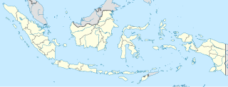
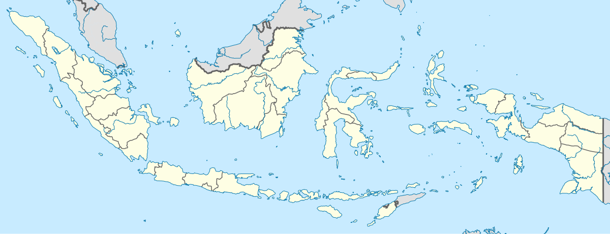
English: Location map of Indonesia.
Equirectangular projection. Stretched by 100.0%. Geographic limits of the map:
|
| Date | |
| Source | Own work |
| Author | Uwe Dedering |
| Other versions |
|
Licensing
I, the copyright holder of this work, hereby publish it under the following licenses:
This file is licensed under the
Creative Commons
Attribution-Share Alike 3.0 Unported license.
- You are free:
- to share – to copy, distribute and transmit the work
- to remix – to adapt the work
- Under the following conditions:
- attribution – You must give appropriate credit, provide a link to the license, and indicate if changes were made. You may do so in any reasonable manner, but not in any way that suggests the licensor endorses you or your use.
- share alike – If you remix, transform, or build upon the material, you must distribute your contributions under the same or compatible license as the original.

|
Permission is granted to copy, distribute and/or modify this document under the terms of the GNU Free Documentation License, Version 1.2 or any later version published by the Free Software Foundation; with no Invariant Sections, no Front-Cover Texts, and no Back-Cover Texts. A copy of the license is included in the section entitled GNU Free Documentation License. |
You may select the license of your choice.
File history
Click on a date/time to view the file as it appeared at that time.
| Date/Time | Thumbnail | Dimensions | User | Comment | |
|---|---|---|---|---|---|
| current | 15:54, 4 December 2022 |
| 1,200 × 460 (739 KB) | NordNordWest | upd |
| 20:17, 2 July 2022 |
| 1,200 × 460 (910 KB) | NordNordWest | upd | |
| 20:21, 26 June 2013 |
| 1,200 × 460 (854 KB) | NordNordWest | upd | |
| 12:58, 18 February 2010 |
| 1,200 × 460 (1.2 MB) | Uwe Dedering | {{Information |Description={{en|1=Location map of Indonesia. Equirectangular projection. Strechted by 100.0%. Geographic limits of the map: * N: 6.5° N * S: -11.5° N * W: 94.5° E * E: 141.5° E Made with Natural Earth. Free vector and raster map |
File usage
More than 100 pages use this file. The following list shows the first 100 pages that use this file only. A full list is available.
- 2002 Bali bombings
- 2007 AFC Asian Cup
- Aceh Besar Regency
- Aceh Jaya Regency
- Adisutjipto Airport
- Agam Regency
- Ambon, Maluku
- Ambon Island
- Anambas Islands Regency
- Arafura Sea
- Aru Islands Regency
- Balikpapan
- Banda Aceh
- Bandar Lampung
- Bandung
- Banggai Regency
- Banjarmasin
- Banyumas Regency
- Banyuwangi Regency
- Batam
- Batu, East Java
- Bawean
- Bekasi
- Belitung
- Bengkayang Regency
- Besakih Temple
- Binjai
- Bireuën Regency
- Bogor
- Bojonegoro Regency
- Borobudur
- Bukittinggi
- Calang
- Cianjur
- Cilacap Regency
- Cilegon
- Cirebon
- Dead Birds (1963 film)
- Denpasar
- Depok
- Donggala Regency
- Garut Regency
- Grasberg mine
- Gunungsitoli
- Halmahera
- Jakarta
- Jayapura
- Jombang Regency
- Kalasan
- Kangean Islands
- Kupang
- Kuta
- Lingga Regency
- Lombok
- Magelang
- Majalengka
- Makassar
- Malang
- Manado
- Manokwari
- Mataram (city)
- May 1998 riots of Indonesia
- Medan
- Mentawai Islands Regency
- Meulaboh
- Morotai Island Regency
- Natuna Regency
- Padang
- Palangka Raya
- Palembang
- Palu
- Pangkalpinang
- Payakumbuh
- Pontianak
- Prambanan
- Probolinggo
- Radin Inten II Airport
- Rinca
- Semarang
- Serang Regency
- Sibolga
- Simeulue Regency
- Singkawang
- Soekarno–Hatta International Airport
- Soewondo Air Force Base
- Sukabumi
- Sultan Aji Muhammad Sulaiman Sepinggan Airport
- Sumbawa
- Surabaya
- Surakarta
- Tangerang
- Tapaktuan
- Tasikmalaya
- Tegal
- Ternate
- Tesso Nilo National Park
- Tidore
- Timor
- Waingapu
- West Aceh Regency
View more links to this file.
Global file usage
The following other wikis use this file:
- Usage on ace.wikipedia.org
- Usage on af.wikipedia.org
- Usage on als.wikipedia.org
- Usage on an.wikipedia.org
- Usage on ar.wikipedia.org
- Usage on ast.wikipedia.org
View more global usage of this file.