
Size of this PNG preview of this SVG file:
800 × 394 pixels. Other resolutions:
320 × 158 pixels |
640 × 315 pixels |
1,024 × 504 pixels |
1,280 × 631 pixels |
2,560 × 1,261 pixels |
1,685 × 830 pixels.
Original file (SVG file, nominally 1,685 × 830 pixels, file size: 531 KB)
| This is a file from the
Wikimedia Commons. Information from its
description page there is shown below. Commons is a freely licensed media file repository. You can help. |
| Description |
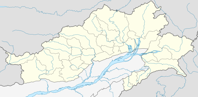
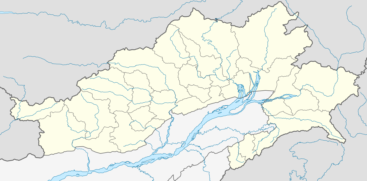
Location map of Arunachal Pradesh Geographic limits of the map:
|
| Date | (UTC) |
| Source | |
| Author |
|
| Other versions | Derivative works of this file: India Arunachal Pradesh districts Assamese.svg |
I, the copyright holder of this work, hereby publish it under the following license:
This file is licensed under the
Creative Commons
Attribution-Share Alike 3.0 Unported license.
- You are free:
- to share – to copy, distribute and transmit the work
- to remix – to adapt the work
- Under the following conditions:
- attribution – You must give appropriate credit, provide a link to the license, and indicate if changes were made. You may do so in any reasonable manner, but not in any way that suggests the licensor endorses you or your use.
- share alike – If you remix, transform, or build upon the material, you must distribute your contributions under the same or compatible license as the original.
Original upload log
This image is a derivative work of the following images:
- File:Arunachal_Pradesh_locator_map.svg licensed with Cc-by-sa-3.0
Uploaded with derivativeFX
File history
Click on a date/time to view the file as it appeared at that time.
| Date/Time | Thumbnail | Dimensions | User | Comment | |
|---|---|---|---|---|---|
| current | 04:52, 13 June 2021 |
| 1,685 × 830 (531 KB) | C1MM | Decreased size, added better dist boudnaries |
| 07:56, 13 March 2021 |
 | 1,845 × 1,046 (824 KB) | C1MM | Added river | |
| 07:52, 13 March 2021 |
 | 1,845 × 1,046 (820 KB) | C1MM | Corrected rivers and district boundaries | |
| 18:14, 18 January 2021 |
 | 1,845 × 1,046 (360 KB) | C1MM | Changed weight of district boundaries | |
| 08:12, 18 January 2021 |
 | 1,845 × 1,046 (358 KB) | C1MM | Fixed borders and corrected new district boundaries | |
| 18:37, 2 August 2020 |
 | 1,456 × 800 (274 KB) | C1MM | Relayered | |
| 04:04, 16 April 2020 |
 | 1,456 × 800 (309 KB) | C1MM | Updated borders | |
| 04:03, 16 April 2020 |
 | 1,456 × 800 (309 KB) | C1MM | Corrected border sizing | |
| 03:58, 16 April 2020 |
 | 1,456 × 800 (309 KB) | C1MM | Extended to include new lat/longitude | |
| 22:32, 12 April 2020 |
 | 1,455 × 746 (276 KB) | C1MM | Corrected borders and added new districts |
File usage
More than 100 pages use this file. The following list shows the first 100 pages that use this file only. A full list is available.
- Aalo
- Along Airport
- Anini
- Arunachal Pradesh
- Basar, Arunachal Pradesh
- Bhalukpong
- Bhalukpong railway station
- Bhismaknagar
- Bomdila
- Bordumsa
- Chaglagam
- Changlang
- Dambuk
- Daporijo
- Daporijo Airport
- Deomali
- Desali
- Dhola Post
- Dibang Wildlife Sanctuary
- Dihang-Dibang Biosphere Reserve
- Dirang
- Diyun
- Dong, Arunachal Pradesh
- Donyi Polo Airport, Itanagar
- Etalin
- Gandhigram, Arunachal Pradesh
- Geography of Arunachal Pradesh
- Hawai, Arunachal Pradesh
- Hayuliang
- Hunli
- Ita Fort
- Itanagar
- Jairampur
- Jomlo Bari
- Kaho, Arunachal Pradesh
- Kalaktang
- Kameng Elephant Reserve
- Kamlang Wildlife Sanctuary
- Kerang Village
- Kharsang
- Khonsa
- Kibithu
- Kimin
- Koloriang
- Kumki, Arunachal Pradesh
- Lemmi
- Limeking
- List of districts of Arunachal Pradesh
- Lumdung
- Mago, Tawang
- Malinithan
- Mayodia Pass
- Mechuka
- Mechuka Advanced Landing Ground
- Miao, Arunachal Pradesh
- Migyitun
- Milakatong La
- Mouling National Park
- Naharlagun
- Naharlagun railway station
- Nampong
- Namsai, Arunachal Pradesh
- New Palin
- Nirjuli
- North Eastern Regional Institute of Science and Technology
- Nyamjang Chu
- Palin, Arunachal Pradesh
- Pangin
- Parshuram Kund
- Pasighat
- Pasighat Airport
- Rani Village
- Roing
- Ruksin
- Sagalee
- Sangestar Tso
- Seppa
- Sessa Orchid Sanctuary
- Sine, Arunachal Pradesh
- Sumdorong Chu
- Sumdorong Chu standoff
- Tawang
- Tawang Air Force Station
- Tawang Chu
- Tawang Monastery
- Tezu
- Tezu Airport
- Thingbu
- Tuting
- Tuting Advanced Landing Ground
- Vijaynagar, Arunachal Pradesh
- Wakro
- Walong
- Walong Advanced Landing Ground
- Yachuli
- Yingkiong
- Yupia
- Zemithang
- Zero Airport
- Ziro
View more links to this file.
Global file usage
The following other wikis use this file:
- Usage on anp.wikipedia.org
- Usage on ar.wikipedia.org
- Usage on as.wikipedia.org
- Usage on azb.wikipedia.org
- Usage on bh.wikipedia.org
- Usage on bn.wikipedia.org
- ইটানগর
- অরুণাচল প্রদেশ
- জিরো
- আলং
- বাসার
- বোমডিলা
- চ্যাংলাং
- দপোরিজো
- দেওমালি
- জয়রামপুর
- খোনসা
- নাহারলাগুন
- নামসাই
- পাসিঘাট
- রইং
- সেপ্পা
- তওয়াং
- তেজু
- টেমপ্লেট:অবস্থান মানচিত্র ভারত অরুণাচল প্রদেশ
- ভালুকপুং
- জিরো বিমানবন্দর
- তেজু বিমানবন্দর
- পাসিঘাট বিমানবন্দর
- ইংকিয়ং
- অনিনি
- পালিন
- মিয়াও
- মেছুকা
- মডিউল:অবস্থান মানচিত্র/উপাত্ত/ভারত অরুণাচল প্রদেশ
View more global usage of this file.