
Size of this PNG preview of this SVG file:
594 × 599 pixels. Other resolutions:
238 × 240 pixels |
476 × 480 pixels |
761 × 768 pixels |
1,015 × 1,024 pixels |
2,030 × 2,048 pixels |
680 × 686 pixels.
Original file (SVG file, nominally 680 × 686 pixels, file size: 104 KB)
| This is a file from the
Wikimedia Commons. Information from its
description page there is shown below. Commons is a freely licensed media file repository. You can help. |
Summary
| Description |
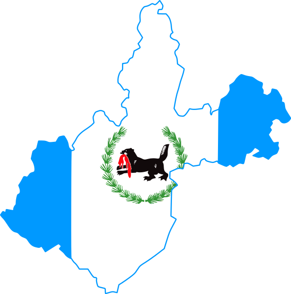
English: Flag-map of Irkutsk Oblast |
| Date | |
| Source | Own work |
| Author | Дмитрий-5-Аверин |
Licensing
I, the copyright holder of this work, hereby publish it under the following license:
This file is licensed under the
Creative Commons
Attribution-Share Alike 3.0 Unported license.
- You are free:
- to share – to copy, distribute and transmit the work
- to remix – to adapt the work
- Under the following conditions:
- attribution – You must give appropriate credit, provide a link to the license, and indicate if changes were made. You may do so in any reasonable manner, but not in any way that suggests the licensor endorses you or your use.
- share alike – If you remix, transform, or build upon the material, you must distribute your contributions under the same or compatible license as the original.
File history
Click on a date/time to view the file as it appeared at that time.
| Date/Time | Thumbnail | Dimensions | User | Comment | |
|---|---|---|---|---|---|
| current | 21:31, 28 August 2014 |
| 680 × 686 (104 KB) | Дмитрий-5-Аверин | fix |
| 16:39, 15 February 2012 |
 | 679 × 685 (82 KB) | Дмитрий-5-Аверин | fix | |
| 16:38, 15 February 2012 |
 | 682 × 686 (86 KB) | Дмитрий-5-Аверин |
File usage
The following pages on the English Wikipedia use this file (pages on other projects are not listed):
- 1st Otdelenie Gosudarstvennoy Selektsionnoy Stantsii
- Abalakovo, Irkutsk Oblast
- Abramovka, Irkutsk Oblast
- Akitkan Range
- Alygdzher
- Angara Range
- Aprelsk
- Baday, Russia
- Balakhninsky (urban-type settlement)
- Belaya (Angara)
- Belorechensky, Irkutsk Oblast
- Bolshaya Rechka
- Bolshoy Lug
- Bolshoy Patom (village)
- Cape Ryty
- Chara (river)
- Chersky Peak
- Chunsky (urban-type settlement)
- Delyun-Uran Range
- Dobrolet, Russia
- Gorno-Chuysky
- Ilim
- Irkut (river)
- Iya (river)
- Kachug, Irkutsk Oblast
- Kezhemsky (rural locality)
- Khrebtovaya
- Khuzhir, Irkutsk Oblast
- Kirenga
- Kitoy
- Kropotkin, Irkutsk Oblast
- Kropotkin Range
- Kultuk, Slyudyansky District, Irkutsk Oblast
- Kumareyka
- Kunerma
- Kuytun, Kuytunsky District, Irkutsk Oblast
- Kvitok
- Lake Oron
- Lesogorsk, Irkutsk Oblast
- Lugovsky
- Magistralny
- Mama, Russia
- Mamakan, Russia
- Mamony, Irkutsk Oblast
- Markova (urban-type settlement)
- Mikhaylovka, Irkutsk Oblast
- Mishelyovka
- Mount Chersky
- Murun (mountain)
- Namai
- Nevanka
- Novaya Igirma
- Novaya Uda, Irkutsk Oblast
- Novobiryusinsky
- Oka (Angara)
- Oktyabrsky, Chunsky District, Irkutsk Oblast
- Pik Martena
- Pik Tofalariya
- Primorsky Range
- Radishchev
- Rudnogorsk
- Sarma (river)
- Shaman Rock
- Shestakovo
- Shitkino
- Shumsky
- Sogdiondon
- Sredny, Irkutsk Oblast
- Sukhoi Log mine
- Synnyr Massif
- Tayturka
- Telma (urban-type settlement)
- Tryokhgolovy Golets
- Tyret Pervaya
- Uk (urban-type settlement)
- Ulkan
- Upper Angara Range
- Ust-Orda Buryat Autonomous Okrug
- Ust-Ordynsky
- Ust-Uda
- Vidim, Russia
- Vishnyakovskoe mine
- Vitimsky
- Yangel (urban-type settlement)
- Yantal
- Yunosti Island
- Yurty, Irkutsk Oblast
- Zalari
- Zheleznodorozhny, Ust-Ilimsky District, Irkutsk Oblast
- Zvyozdny, Irkutsk Oblast
- Template:IrkutskOblast-geo-stub
Global file usage
The following other wikis use this file:
- Usage on ce.wikipedia.org
- Иркутск
- Кеп:Irkut-obl-geo-stub
- Аларь
- Александровск (Иркутскан область)
- Алзобей
- Аляты
- Ангарски (Иркутскан область)
- Апхайта
- Апхульта
- Аргалей
- Аршан (Аларан кӀошт)
- Балтуй
- Бахтай
- Берестенникова
- Большой Ерма
- Большеусовски
- Буркова
- Бурятски (Иркутскан область)
- Быково (Иркутскан область)
- Вершина (Аларан кӀошт)
- Высотски
- Головински (Иркутскан область)
- Готол
- Дута
- Егоровски (Иркутскан область)
- Жлобина
- Забитуй (Аларан кӀошт)
- Занина
- Заречни (Аларан кӀошт)
- Зоны
- Иванически
- Иванова
- Идеал
- Икинат
- Кербулак (Иркутскан область)
- Киркей
- Кирюшина (Иркутскан область)
- Ключи (Аларан кӀошт)
- Корховски
- Куйта (Аларан кӀошт)
- Кукунур
- Кундулун (Аларан кӀошт)
- Куркат
- Кутулик
- Малолучинск
- Маломолева
- Мали Кутулик
- Маниловски (Росси)
- Мардай
- Могоенок
View more global usage of this file.