
Size of this preview:
367 × 599 pixels. Other resolutions:
147 × 240 pixels |
294 × 480 pixels |
470 × 768 pixels |
627 × 1,024 pixels |
1,353 × 2,210 pixels.
Original file (1,353 × 2,210 pixels, file size: 1.06 MB, MIME type: image/jpeg)
| This is a file from the
Wikimedia Commons. Information from its
description page there is shown below. Commons is a freely licensed media file repository. You can help. |
Summary
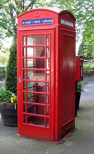
| Description | Telephone Box, Daresbury, Cheshire. |
| Date | |
| Source | Own work |
| Author | Peter I. Vardy |
This is a photo of
listed building number
1330356. |
| Object location |
| View this and other nearby images on: OpenStreetMap |
|
|---|
Licensing
| I, the copyright holder of this work, release this work into the
public domain. This applies worldwide. In some countries this may not be legally possible; if so: I grant anyone the right to use this work for any purpose, without any conditions, unless such conditions are required by law. |
File history
Click on a date/time to view the file as it appeared at that time.
| Date/Time | Thumbnail | Dimensions | User | Comment | |
|---|---|---|---|---|---|
| current | 21:43, 18 April 2007 |
| 1,353 × 2,210 (1.06 MB) | Peter I. Vardy | {{Information |Description=Telephone Box, Daresbury, Cheshire ({{gbmapping|SJ579828}}). |Source=self-made |Date=18 April 2007 |Author= MyName (~~~) |other_versions= }} Category:Cheshire |
File usage
The following pages on the English Wikipedia use this file (pages on other projects are not listed):
Global file usage
The following other wikis use this file:
- Usage on es.wikipedia.org
- Usage on pt.wikipedia.org