| Eldridge Glacier | |
|---|---|
 Eldridge Glacier | |
| Type | Valley glacier |
| Location | Matanuska-Susitna Borough, Alaska, U.S. |
| Coordinates | 63°01′24″N 150°07′26″W / 63.02333°N 150.12389°W |
| Length | 30 miles (48 km) |
|
| |
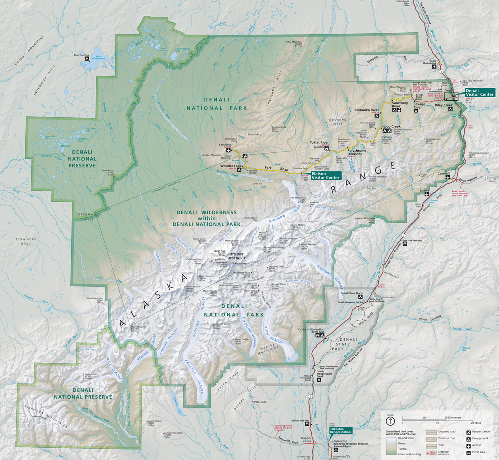
Eldridge Glacier is a major glacier in Denali National Park and Preserve in the U.S. state of Alaska. The 30-mile (48 km) long glacier originates on the east side of Explorers Peak, flowing northeast to a basin below Mount Eldridge, gathering flow from several glaciated cirques, then flowing southeast to the valley of the Chulitna River, where it gives rise to the Fountain River. A large unnamed tributary glacier joins Eldridge Glacier a few miles above its terminus. [1] [2] [3]
See also
References
- ^ "Map of Denali National Park and Preserve". Denali National Park and Preserve. National Park Service. Retrieved 2 April 2013.
- ^ Denali National Park and Preserve (Map). !:225,000. National Geographic Maps. 2007. ISBN 978-1-56695-328-3.
- ^ "Eldridge Glacier". Geographic Names Information System. United States Geological Survey, United States Department of the Interior. Retrieved 2013-04-02.
|
| This article about a glacier in Alaska is a stub. You can help Wikipedia by expanding it. |