Dormont Junction | |||||||||||||
|---|---|---|---|---|---|---|---|---|---|---|---|---|---|
|
| |||||||||||||
 Dormont Junction in 2011 | |||||||||||||
| General information | |||||||||||||
| Location | Raleigh Avenue Dormont, Pennsylvania 15216 | ||||||||||||
| Coordinates | 40°23′30″N 80°02′27″W / 40.391563°N 80.040969°W | ||||||||||||
| Owned by | Pittsburgh Regional Transit | ||||||||||||
| Platforms | 2 side platforms | ||||||||||||
| Tracks | 2 | ||||||||||||
| Connections | Bus routes 41 Bower Hill | ||||||||||||
| Construction | |||||||||||||
| Parking | 132 spaces | ||||||||||||
| Accessible | Yes | ||||||||||||
| History | |||||||||||||
| Opened | 1985 | ||||||||||||
| Passengers | |||||||||||||
| 2018 | 464 [1] (weekday boardings) | ||||||||||||
| Services | |||||||||||||
| |||||||||||||
| |||||||||||||
| Location | |||||||||||||
 Dormont Junction Location within Pittsburgh | |||||||||||||
Dormont Junction is a station on the Red Line route of Pittsburgh Regional Transit's light rail network. [2] It is located in Dormont, Pennsylvania. The station is an important park and ride facility, featuring 132 spaces. [3] West Liberty Avenue, Dormont's main artery, is located one block uphill from the station, in a portion of the street that is lined with automobile dealerships. Opposite the commercial sector, a densely populated residential area is located with many homes within walking distance of the station.
History
The original Dormont Junction was a wye between the Pittsburgh Railways private right of way 42 Dormont and the street running 38 Mt. Lebanon. [4] The station stopped being a junction in 1963 when the two routes were combined into the 42/38 Mt. Lebanon Beechview, but the name remained. [5] However, it remains one of only a few places along the route with a Railroad switch allowing the trains to switch tracks. The current station was built in 1985 along with the 2,800 feet (850 m) Mt. Lebanon Tunnel, [6] which bypassed 8 blocks of street running along Washington Road.
Connecting buses
- 41 Bower Hill: West Liberty Avenue at Park Boulevard[ citation needed]
References
- ^ "System Map Winter 2018". Port Authority. Archived from the original on 2016-03-16.
- ^ Official Port Authority information page
- ^ "DORMONT JUNCTION LRT STA-BILTMORE AVE-DORMONT" (PDF). 24 November 2008. Retrieved 31 August 2009.
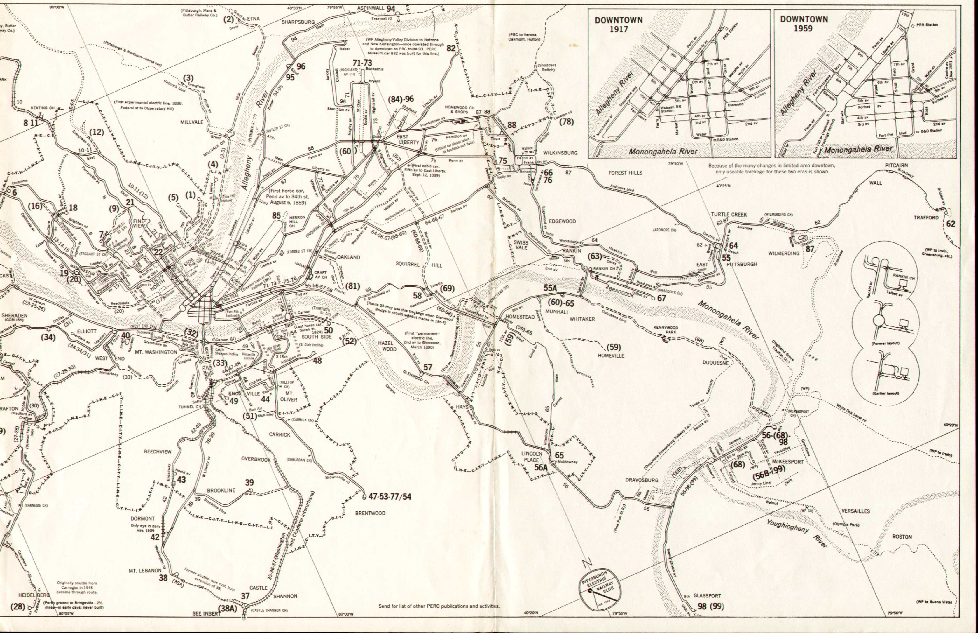
- ^ "Maps of PA". Pittsburgh Electric Railway Club. 1959. Retrieved 2 September 2009.
- ^ "Pittsburgh Railways Online - A Trolley Car Tragedy". 18 February 2002. Retrieved 14 August 2009.
- ^ "Bridges and Tunnels of Allegheny County - Mount Lebanon Transit Tunnels". 27 November 2001. Retrieved 31 August 2009.
External links
-
 Media related to
Dormont Junction (PAT station) at Wikimedia Commons
Media related to
Dormont Junction (PAT station) at Wikimedia Commons - Station from Raleigh Avenue from Google Maps Street View