Coyomeapan | |
|---|---|
Municipality and town | |
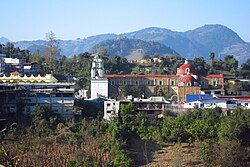
 View of town center with Parroquia de Santa María Magdalena | |
| Country | |
| State | Puebla |
| Time zone | UTC-6 ( Central Standard Time) |
| • Summer ( DST) | UTC-5 ( Central Daylight Time) |
Coyomeapan is a town and municipality in the Mexican state of Puebla in south-eastern Mexico. [1]
Multipurpose building in the town center
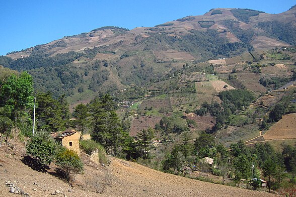
View of hillside leaving town center
References
- ^ "-". Enciclopedia de los Municipios de México. Instituto Nacional para el Federalismo y el Desarrollo Municipal. Archived from the original on April 5, 2007. Retrieved January 4, 2010.


