Corozal Airport Ranchito Airport | |||||||||||
|---|---|---|---|---|---|---|---|---|---|---|---|
| Summary | |||||||||||
| Airport type | Public | ||||||||||
| Serves | Corozal, Belize | ||||||||||
| Location | Ranchito | ||||||||||
| Elevation AMSL | 4.0 ft / 1 m | ||||||||||
| Coordinates | 18°22′55″N 88°24′40″W / 18.38194°N 88.41111°W | ||||||||||
| Map | |||||||||||
| Runways | |||||||||||
| |||||||||||
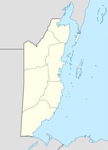
Corozal Airport ( IATA: CZH, ICAO: MZCZ) is an airport that serves Corozal, Belize. It is located at the south entrance of Corozal, in Ranchito village, and is therefore known as Ranchito Airport.
Airlines and Destinations
Passenger
| Airlines | Destinations |
|---|---|
| Maya Island Air |
Belize City–International,
Belize City–Municipal,
Caye Caulker,
Caye Chapel,
Dangriga,
Independence,
Placencia,
Punta Gorda,
San Pedro Seasonal: Orange Walk |
| Tropic Air | San Pedro |
See also
References
- ^ Airport information for Corozal Airport at Great Circle Mapper.
- ^ "MZCZ: Ranchito Airstrip Airport". SkyVector. 31 December 2020. Retrieved 10 January 2021.
External links
- OurAirports - Corozal Municipal Airport
- Corozal's Airport
- Accident history for Corozal Airport at Aviation Safety Network
