Clam Point | |
|---|---|
| Coordinates: 43°29′30″N 65°34′25″W / 43.491667°N 65.573611°W [1] | |
| Country | |
| Province | |
| County | Shelburne |
| Municipal district | Barrington |
| Time zone | UTC-4 ( AST) |
| • Summer ( DST) | UTC-3 ( ADT) |
| Postal code(s) | |
| Area code | 902 |
| Access Routes | Stoney Island Road via |
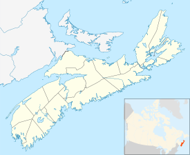
Clam Point is a community on Cape Sable Island in the Canadian province of Nova Scotia, located in the Municipality of the District of Barrington of Shelburne County. [2]
See also
References
43°29′30″N 65°34′25″W / 43.49167°N 65.57361°W
