Chukhung | |
|---|---|
village | |
 Chukhung from the trail leading to Island Peak (2012) | |
 Chukhung | |
| Coordinates: 27°54′18″N 86°52′17″E / 27.905086°N 86.871386°E | |
| Country | Nepal |
| Region | Khumbu |
| Elevation | 4,730 m (15,520 ft) |
Chukhung is a lodge village serving trekkers and climbers in the Khumbu region of Nepal in the Himalayas south of Mount Everest. [2]
The Chukhung Valley lies on the southern slopes of Lhotse and Nuptse by the Lho Glacier and the Nup Glacier, the western slopes of Cho Polu and Baruntse by the Imja Glaciers, and the northern slopes of Mount Ama Dablam by the Ama Dablam Glacier and Chukhung Glacier. It extends westward past the village of Dingboche where it joins the Pheriche Valley. The Imja Khola flows through the Chukhung Valley. [3]
Chukhung village, 4,730 metres (15,518 ft), is on a left fork of the Imja Khola. [3] Administratively it is in the Solukhumbu District of Koshi Province. This area was traditionally used as a yak pasture with no permanent habitation. As Imja Tse has gained popularity as a trekking peak and the Chukhung Valley is a good acclimatization side trip for Everest Base Camp trekkers, several lodges have been built there. [4]
Chukhung Ri is a rocky peak rising above the village of Chukhung to 5,546 metres (18,196 ft). [5] [4]
References
- ^ "Topographic map of Chukhung". opentopomap.org. Retrieved 4 May 2023.
- ^ Chukhung (Approved - N) at GEOnet Names Server, United States National Geospatial-Intelligence Agency
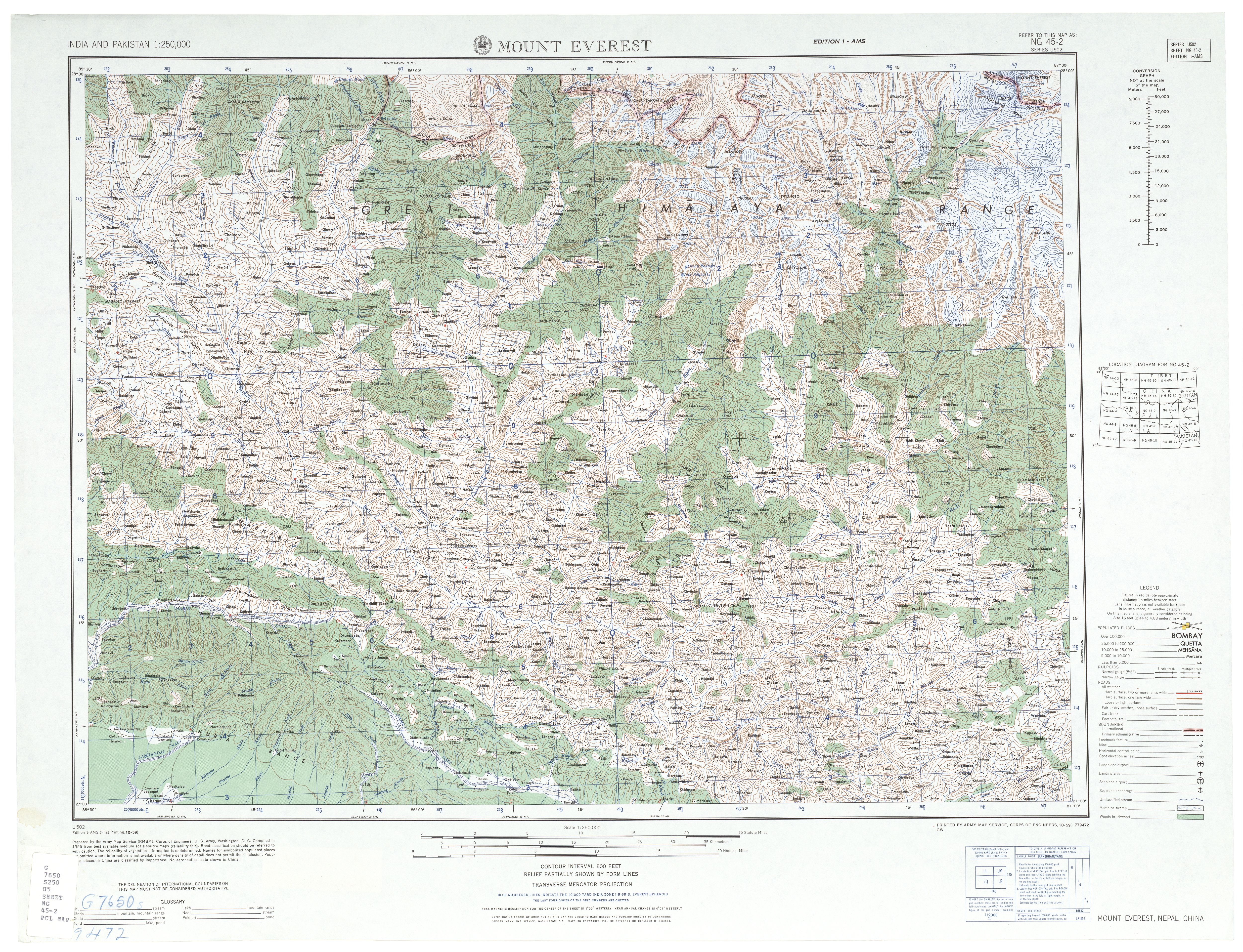
- ^ a b Mount Everest, NG 45-02, Series U502 (Map). 1:250,000. United States Army Map Service. 1959.
- ^ a b Mayhew, Bradley (2009). Trekking in the Nepal Himalaya. Lonely Planet. p. 119. ISBN 978-1-74104-188-0.
- ^ "Topographic map of Chukhung Ri". opentopomap.org. Retrieved 4 May 2023.
|
| This article about a location in Solukhumbu District, Nepal is a stub. You can help Wikipedia by expanding it. |