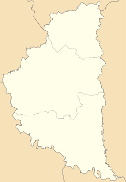
Chornokinetska Volia
Чорнокінецька Воля | |
|---|---|
| Coordinates: 48°56′49″N 26°4′47″E / 48.94694°N 26.07972°E | |
| Country | |
| Oblast | |
| Raion | Chortkiv Raion |
| Hromada | Kolyndiany Hromada |
| Time zone | UTC+2 (EET) |
| • Summer ( DST) | UTC+3 (EEST) |
| Postal code | 48509 |
Chornokinetska Volia ( Ukrainian: Чорнокінецька Воля) is a village in Ukraine, Ternopil Oblast, Chortkiv Raion, Kolyndiany rural hromada.
History
The first written mention dates back to 1654. [1]
Since 29 July 2015, they have belonged to the Kolyndiany rural hromada. [2]
Religion
- Church of Nativity of Virgin Mary (transported in 1763 from the town, now Skala-Podilska, Chortkiv Raion, wooden; new, stone, 2004) [1]
References
- ^ a b (in Ukrainian) Б. Мельничук, М. Федечко, Чорнокінецька Воля // Ternopil region. History of cities and villages: in 3 v. / Ternopil: "Terno-graph", 2014, V. 3: М—Ш, S. 518—519. — ISBN 978-966-457-246-7.
- ^ ВВРУ, 2019, № 1, s. 36.
