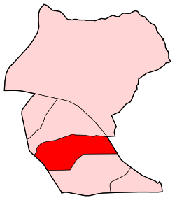
Canillas | |
|---|---|
 | |
| Country |
|
| Aut. community |
|
| Municipality |
|
| District | Hortaleza |
|
| |
Canillas is a ward (barrio) of Madrid belonging to the district of Hortaleza. it is also home to Parroquia de Santa Paula(Parish of Saint Paula. [1]
References
Wikimedia Commons has media related to
Canillas neighborhood, Madrid.