Bongor Airport | |||||||||||
|---|---|---|---|---|---|---|---|---|---|---|---|
| Summary | |||||||||||
| Airport type | Public | ||||||||||
| Owner | Government | ||||||||||
| Location | Bongor, Chad | ||||||||||
| Coordinates | 10°17′18″N 015°22′47″E / 10.28833°N 15.37972°E | ||||||||||
| Map | |||||||||||
| Runways | |||||||||||
| |||||||||||
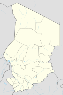
Bongor Airport ( IATA: OGR, ICAO: FTTB) ( Arabic: مطار بونقور) is an airport serving the city of Bongor, in the Mayo-Kebbi Est Region of Chad.
See also
References
- ^ Airport information for OGR at Great Circle Mapper.
- ^ Airport information for Bongor Airport at Transport Search website.
- ^ Airport record for Bongor Airstrip at Landings.com. Retrieved 2013-08-28
- ^ Google (2013-08-28). "location of Bongor Airstrip" (Map). Google Maps. Google. Retrieved 2013-08-28.
External links
- Airport record for Bongor Airstrip at Landings.com
