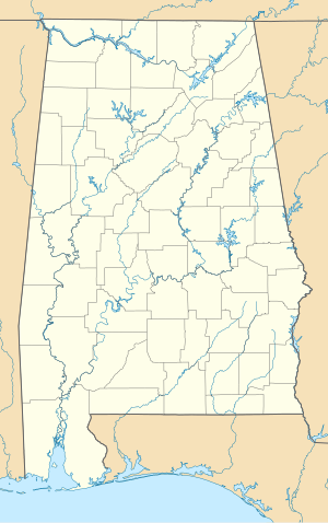
Beloit, Alabama | |
|---|---|
| Coordinates: 32°12′41″N 87°05′08″W / 32.2115°N 87.0855°W | |
| Country | |
| State | |
| County | Dallas |
| Elevation | 60 m (197 ft) |
| Time zone | UTC-6 ( Central (CST)) |
| • Summer ( DST) | UTC-5 (CDT) |
| ZIP code | 36759 |
| Area code | 334 |
| GNIS feature ID | 154980 [1] |
Beloit is an unincorporated community in Dallas County, Alabama. [2]
Geography
Beloit is located at 32°21′14″N 87°08′56″W / 32.354°N 87.149°W and has an elevation of 197 feet (60 m). [2]
References
- ^ "Beloit". Geographic Names Information System. United States Geological Survey, United States Department of the Interior.
- ^ a b "Beloit, Alabama". "AL HomeTownLocator". Retrieved November 5, 2008.
Orrville , Alabama


