| Ball Bay Queensland | |||||||||||||||
|---|---|---|---|---|---|---|---|---|---|---|---|---|---|---|---|
 Footprints in the sand at Ball Bay, 1948 | |||||||||||||||
 Ball Bay | |||||||||||||||
| Coordinates | 20°54′21″S 148°59′49″E / 20.9058°S 148.9969°E | ||||||||||||||
| Population | 384 ( 2021 census) [1] | ||||||||||||||
| Postcode(s) | 4741 | ||||||||||||||
| Time zone | AEST ( UTC+10:00) | ||||||||||||||
| LGA(s) | Mackay Region | ||||||||||||||
| State electorate(s) | Whitsunday | ||||||||||||||
| Federal division(s) | Dawson | ||||||||||||||
| |||||||||||||||
Ball Bay is a coastal rural town, a locality and a bay in Mackay Region, Queensland, Australia. [2] [3] [4] In the 2021 census, the locality of Ball Bay had a population of 384 people. [1]
Geography
Ball Bay is located 43 kilometres (27 mi) north-west of Mackay and 71 kilometres (44 mi) south-east of Proserpine. It is the nearest settlement to Cape Hillsborough National Park. [5]
Demographics
In the 2011 census, the locality of Ball Bay had a population of 628 people. [6]
In the 2016 census, the locality of Ball Bay had a population of 360 people. [7]
In the 2021 census, the locality of Ball Bay had a population of 384 people. [1]
Amenities
The Mackay Regional Council operate a camping ground at Ball Bay. Beach fishing is a popular local activity. [5]
The Mackay Regional Council operates a mobile library service on a fortnightly schedule at Coconut Grove. [8] [9]
References
- ^ a b c Australian Bureau of Statistics (28 June 2022). "Ball Bay (SAL)". 2021 Census QuickStats. Retrieved 28 February 2023.
- ^ "Ball Bay – population centre in the Mackay Region (entry 1362)". Queensland Place Names. Queensland Government. Retrieved 13 November 2019.
- ^ "Ball Bay – locality in the Mackay Region (entry 46758)". Queensland Place Names. Queensland Government. Retrieved 13 November 2019.
- ^ "Ball Bay – bay in the Mackay Region (entry 1361)". Queensland Place Names. Queensland Government. Retrieved 13 November 2019.
- ^ a b "Further North & the Hibiscus Coast" (PDF). Mackay Regional Council. Archived from the original (PDF) on 23 March 2014. Retrieved 22 March 2014.
- ^ Australian Bureau of Statistics (31 October 2012). "Ball Bay". 2011 Census QuickStats. Retrieved 23 March 2014.
- ^ Australian Bureau of Statistics (27 June 2017). "Ball Bay (SSC)accessdate=213 November 2019". 2016 Census QuickStats.
- ^ "Libraries: Contact/Opening Hours". Mackay Regional Council. Archived from the original on 1 March 2016. Retrieved 28 April 2017.
- ^ "Mobile Library Timetable 2017" (PDF). Mackay Regional Council. Archived from the original (PDF) on 1 March 2017. Retrieved 8 May 2017.
External links
- "Ball Bay". Queensland Places. Centre for the Government of Queensland, University of Queensland.
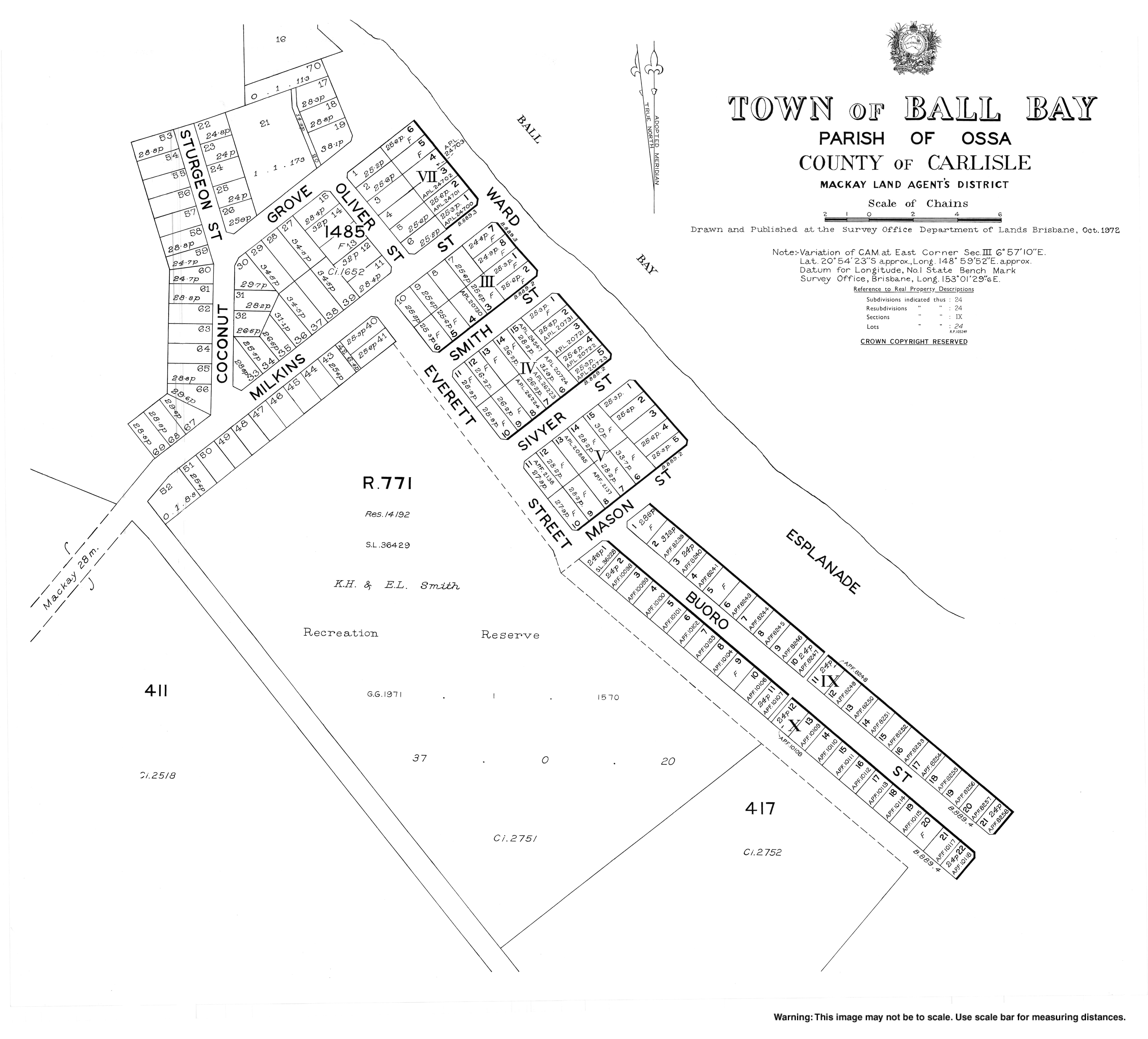
- Town map, 1972