Bachmann | |||||||||||
|---|---|---|---|---|---|---|---|---|---|---|---|
| Former Staten Island Railway station | |||||||||||
| General information | |||||||||||
| Location | Staten Island | ||||||||||
| Coordinates | 40°37′00″N 74°04′18″W / 40.616667°N 74.071667°W | ||||||||||
| Line(s) | South Beach Branch | ||||||||||
| Platforms | 2 side platforms | ||||||||||
| Tracks | 2 | ||||||||||
| History | |||||||||||
| Opened | March 8, 1886 | ||||||||||
| Closed | 1937 | ||||||||||
| Former services | |||||||||||
| |||||||||||
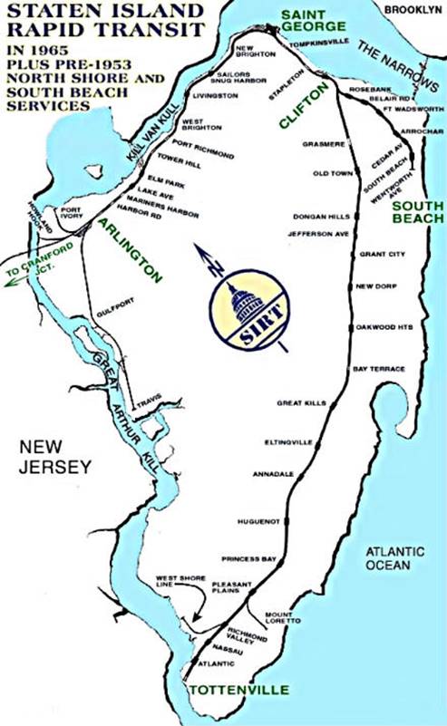
Bachmann was a station on the demolished South Beach Branch of the Staten Island Railway. Constructed in 1886 to serve the employees of Bachmann's Brewery, it had two tracks and two side platforms, and was located east of Tompkins Avenue, between Lynhurst and Chestnut Avenues. [1] During a grade crossing elimination project on the South Beach Branch, the railroad closed and razed the stop in 1937, due to its proximity to the Rosebank station and the fact that the brewery never reopened after Prohibition. Well after the closure of the Bachmann station, the rest of the South Beach Branch was abandoned in 1953, because of city-operated bus competition. [2] [3] [4] [5]
References
- ^ "Gary Owen's SIRT Page". Gary Owen Land. Retrieved December 13, 2015.
- ^ "Gary Owen SIRT Page Part Two". Gary Owen Land. Retrieved October 8, 2015.
- ^ Pitanza, Marc (2015). Staten Island Rapid Transit Images of Rail. Arcadia Publishing. ISBN 978-1-4671-2338-9.
- ^ Drury, George H. (1994). The Historical Guide to North American Railroads: Histories, Figures, and Features of more than 160 Railroads Abandoned or Merged since 1930. Waukesha, Wisconsin: Kalmbach Publishing. pp. 312–314. ISBN 0-89024-072-8.
- ^ "The Old Order Passeth: Rails Surrender To Roads: Passenger Runs on Two Lines of SIRT Will End at Midnight". Staten Island Advance. March 31, 1953. Retrieved October 14, 2015.
|
| This Staten Island train station–related article is a stub. You can help Wikipedia by expanding it. |
- South Beach Branch stations
- Railway stations in the United States opened in 1886
- Railway stations closed in 1937
- 1886 establishments in New York (state)
- 1937 disestablishments in New York (state)
- Railway stations in the United States closed in the 1930s
- New York City railway station stubs
- Staten Island building and structure stubs