| Bóbr Valley Landscape Park | |
|---|---|
| Park Krajobrazowy Doliny Bobru | |
IUCN category V (protected landscape/seascape) | |
 Bóbr River in the southeast of the landscape park
 | |
| Location | Lower Silesian Voivodeship |
| Coordinates | 51°0′N 15°39′E / 51.000°N 15.650°E |
| Area | 109.43 km² |
| Established | 1989 |
| Website | Park Krajobrazowy Doliny Bobru (in Polish) |
Bóbr Valley Landscape Park (Park Krajobrazowy Doliny Bobru) is a protected area in south-western Poland. [1]
The Park lies within Lower Silesian Voivodeship: in Jelenia Góra County ( Gmina Jeżów Sudecki, Gmina Stara Kamienica), Lwówek Śląski County ( Gmina Lwówek Śląski, Gmina Lubomierz, Gmina Wleń) and Złotoryja County ( Gmina Świerzawa). The Bóbr river, with a length of 272 kilometres (169 mi), runs through it, south to north.[ citation needed]
-
 Rock formation on the valley slopes, near Jelenia Góra
 -
 At Siedlęcin
 -
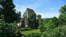
 The old village of Siedlęcin
 -
 At the small tributary stream of Kamienica
 -
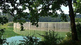 The dam at Pilchowickie Lake
 -
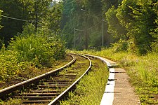 Railtracks traverse the park
.JPG)
.jpg)

.jpg)
.JPG)

See also
Notes and references
- ^ "Park Krajobrazowy Doliny Bobru". Informacje ogólne (in Polish). Dolnośląski Zespół Parków Krajobrazowych. 2011. Archived from the original on 2015-09-23. Retrieved 2013-04-29.
External links
Wikimedia Commons has media related to
Bóbr Valley Landscape Park.
| International | |
|---|---|
| National | |
|
| This Lower Silesian Voivodeship location article is a stub. You can help Wikipedia by expanding it. |
|
| This Polish protected area-related article is a stub. You can help Wikipedia by expanding it. |