Aral | |
|---|---|
District | |
| Арал ауданы | |
 Coat of arms | |
 | |
| Coordinates: 46°47′0″N 61°40′0″E / 46.78333°N 61.66667°E | |
| Country | |
| Region | Kyzylorda Region |
| Administrative center | Aral |
| Founded | 1938 |
| Government | |
| • Akim | Sandybaev Murat Mirtaevich [1] |
| Population (2013)
[2] | |
| • Total | 74,689 |
| Time zone | UTC+6 (East) |
Aral ( Kazakh: Арал ауданы, Aral audany, ارال اۋدانى) is a district of Kyzylorda Region in southern Kazakhstan. The administrative center of the district is the town of Aral. [3] Population: 74,689 (2013 estimate); [2] 70,562 (2009 Census results); [4] 68,382 (1999 Census results). [4]
Geography
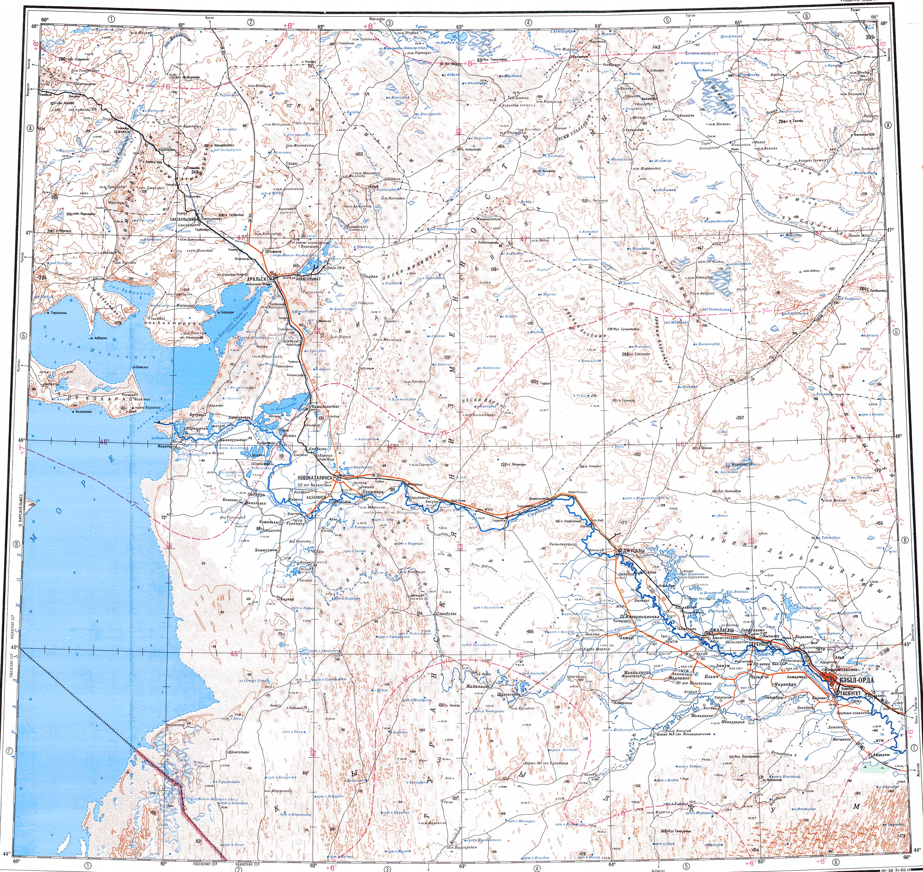
Lake Zhaksykylysh lies in the district, about 30 kilometers (19 mi) to the northeast of the Aral Sea. [5]
References
- ^ "Акимат Узункольского района". www.gov.kz.
- ^ a b "Население Республики Казахстан" (in Russian). Департамент социальной и демографической статистики. Retrieved 27 December 2013.
- ^ "www.geonames.de Subdivisions of Kazakhstan in local languages". Archived from the original on 2016-03-03. Retrieved 2008-04-25.
- ^ a b "Население Республики Казахстан" [Population of the Republic of Kazakhstan] (in Russian). Департамент социальной и демографической статистики. Retrieved 8 December 2013.
- ^ "L-41 Topographic Chart (in Russian)". Retrieved 18 November 2022.
Further reading
- Bissell, Tom. (2003). Chasing the Sea: Lost Among the Ghosts of Empire in Central Asia. Pantheon Books, New York. ISBN 0-375-42130-0.
Capital:
Kyzylorda | ||
| Districts |  | |
| Major cities | ||
|
| This Kazakhstan location article is a stub. You can help Wikipedia by expanding it. |