| Almendares River | |
|---|---|
 | |
| Location | |
| Country | Cuba |
| Physical characteristics | |
| Length | 47 km (29 mi) |
The Almendares River is a river that runs for 47 km in the western part of Cuba. It originates from the east of Tapaste and flows north-west into the Straits of Florida. The river acts as a water supply for Havana. [1]
The final stretch divides the municipalities of Plaza de la Revolución ( Vedado district) and Playa ( Miramar district). Part of the river valley forms the Almendares Park or Metropolitan Park of Havana (PMH), a few kilometers upstream from the ocean.[ citation needed]
History
The Cuban aborigines called it Casiguaguas, [2] and the first colonizers named it La Chorrera, and later renamed it Almendares in honor of the Bishop of Havana, Enrique Almendaris. [3]
Gallery
-
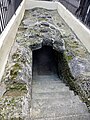 Zanja Real was an aqueduct near the Almendares River

References
- ^ "Almendares River - river, Cuba". Encyclopedia Britannica. September 6, 2007. Retrieved January 20, 2022.
- ^ "La desembocadura del Almendares: ¿río o desagüe?". CubaNoticias360. April 25, 2021. Retrieved January 20, 2022.
- ^ "Gobierno de La Habana". Portal del Gobierno de La Habana (in Spanish). May 28, 2021. Retrieved January 20, 2022.
Further reading
- Jacobo de la Pezuela: Diccionario geografico, estadístico, historico, de la isla de Cuba.Editor: Impr. del estab. de Mellado, 1863. Tomo II, página 236 (PDF).
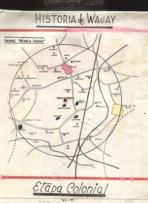
- Gerardo Gandarilla, Tomado del Trabajo "Historia del Wajay", Biblioteca "Ramón Herrera (Wajay).
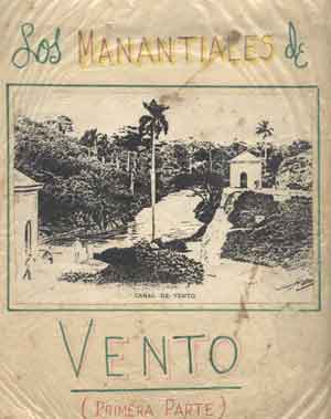
- Gerardo Gandarilla, Tomado del Trabajo "Los Manantiales de Vento", Biblioteca "Ramón Herrera (Wajay).
- Albear y Fernández de Lara, Francisco de: "Memoria sobre el proyecto de conducción a La Habana de las aguas de los manantiales de Vento" -1855-.
- Albear y Fernández de Lara, Francisco de: "Memoria del proyecto de depósito de recepción y de distribución de las aguas del Canal de Vento",-1876-.
- Albear y Fernández de Lara, Francisco de: "Memoria del proyecto de la distribución del agua de Vento en La Habana" -1876-.
- Albear y Fernández de Lara, Francisco de:"Acueducto de Albear".
- Antonio Núñez Jiménez "Hacia una Cultura de La Naturaleza" (PDF)
- Investigación: "USO DE TÉCNICAS NUCLEARES EN LA EVALUACIÓN DE LA CUENCA ALMENDARES-VENTO PARA LA GESTIÓN SOSTENIBLE DE SUS RECURSOS HÍDRICOS". Autores: José Luis Peralta Vital; Reinaldo Gil Castillo; Dennys Leyva Bombuse; Leslie Moleiro León y Manuel Pin (PDF).
| History |
| ||||||||||
|---|---|---|---|---|---|---|---|---|---|---|---|
| Geography | |||||||||||
| Politics |
| ||||||||||
| Economy | |||||||||||
| Culture |
| ||||||||||
| International | |
|---|---|
| National | |
23°08′04″N 82°24′34″W / 23.1344°N 82.4094°W