An editor has performed a search and found that
sufficient sources exist to establish the subject's
notability. (April 2021) |
Aingiri | |
|---|---|
| Coordinates: 23°19′42″N 90°57′40″E / 23.32833°N 90.96111°E | |
| Country | |
| Division | Chittagong Division |
| District | Chandpur District |
| Time zone | UTC+6 ( Bangladesh Time) |
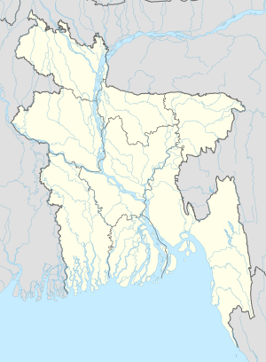
Aingiri is a village in Chandpur District in the Chittagong Division of Eastern Bangladesh. [1]
Description
Aingiri is located in the district of Kachua Upazila.
Population
Aingiri has different educational institutions, including;
- Aingiri Government Primary School
- Aingiri High School
- Aingiri Golzarshah Islamia Alim Madrasha
Amenities
Aingiri has a government hospital.[ citation needed] The village has 6 mosques.
There is a Hindu temple in Karmokar Bari.
References
- ^ "NGA GeoNames Database". National Geospatial-Intelligence Agency. Retrieved 2008-07-14.
