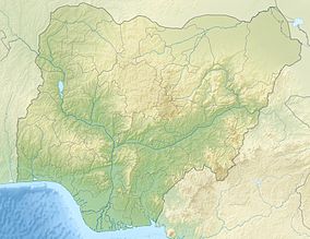
| Afi River Forest Reserve | |
|---|---|
IUCN category V (protected landscape/seascape) | |

Cross River gorilla, a critically endangered species | |
| Location |
Cross River State, |
| Coordinates | 6°11′53″N 8°58′36″E / 6.198155°N 8.976688°E |
| Area | 312 km2 (120 sq mi) |
The Afi River Forest Reserve is in Cross River State, Nigeria, and covers 312 square kilometres (120 sq mi). It is one of the largest forest blocks remaining in the state other than the Cross River National Park. The reserve lies between the Afi Mountain Wildlife Sanctuary and Mbe Mountains Community Forest, both of which are home to Cross River gorillas and forms a corridor between the two. A 2008 report noted that increasing levels of logging, farming and hunting were placing the gorillas under threat. [1]
The development of the Nigerian super highway project has attracted the attention of the international public due to its great impact on the Afi Mountain Wildlife Sanctuary and the living world in it. Forest elephants, Nigerian-Cameroon chimpanzees, drills, pangolins, short-legged crocodiles and many others will be endangered. [2]
References
- ^ "Important Forest Corridor for Gorillas under Threat". Gorilla Journal 37. December 2008. Archived from the original on 2011-06-15. Retrieved 2010-10-21.
- ^ "Nigerian superhighway project draws international attention over threats to local communities and wildlife". Mongabay Environmental News. 2016-11-02. Retrieved 2020-08-18.
