| Yerupaja Chico | |
|---|---|
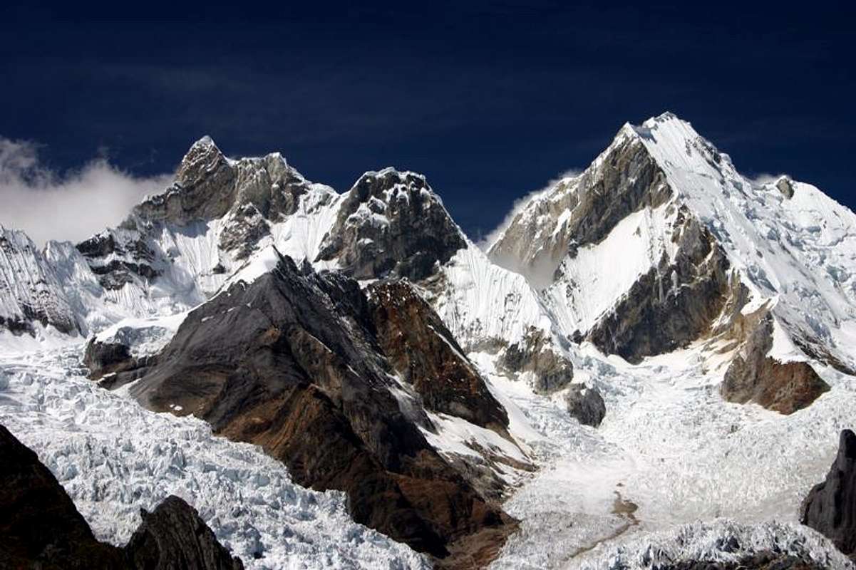
 Yerupaja Chico Peru | |
| Highest point | |
| Elevation | 6,121 m (20,082 ft) [1] |
| Coordinates | 10°14′54″S 76°54′09″W / 10.24833°S 76.90250°W [1] |
| Geography | |
| Location | Lima Province, Peru |
| Parent range | Andes, Huayhuash |
Yerupaja Chico is a mountain in Peru. [1]
Yerupaja Chicho rises 6,121 metres (20,082 ft) and neighboring Yerupaja rises 6,617 metres (21,709 ft). The names' literal translations are yerupaja – smaller and yerupaja – larger. They are two peaks in the Peruvian Andes. They can be viewed from above Laguna Solteracocha on the way up to Punta Sambuya on trekking trails through the Huayhuash. Chico is claimed to be a technically more difficult project for mountain climbers, although it is approximately 600 metres lower.
References
- ^ a b c "Yerupaja Chico". Peakbagger.com. Retrieved 27 June 2012.
External links
|
| This Peru mountain, mountain range, or peak related article is a stub. You can help Wikipedia by expanding it. |