
Size of this PNG preview of this SVG file:
505 × 600 pixels. Other resolutions:
202 × 240 pixels |
404 × 480 pixels |
646 × 768 pixels |
862 × 1,024 pixels |
1,724 × 2,048 pixels |
1,010 × 1,200 pixels.
Original file (SVG file, nominally 1,010 × 1,200 pixels, file size: 455 KB)
| This is a file from the
Wikimedia Commons. Information from its
description page there is shown below. Commons is a freely licensed media file repository. You can help. |
Summary
| Description |
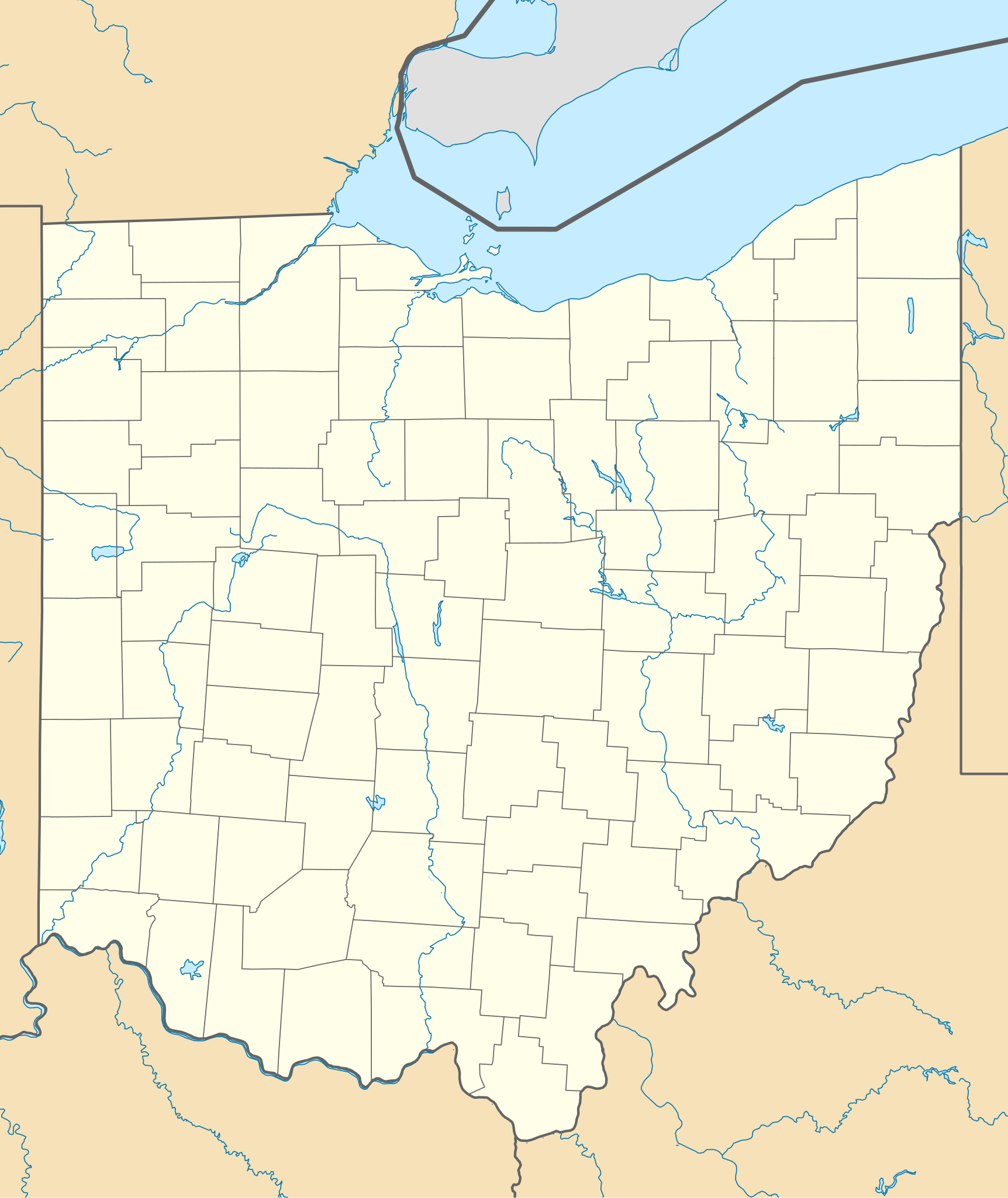
Quadratische Plattkarte, N-S-Streckung 130.0 %. Geographische Begrenzung der Karte:
Equirectangular projection, N/S stretching 130.0 %. Geographic limits of the map:
|
| Date | |
| Source | Own work |
| Author | Alexrk2 |
| Other versions |
Derivative works of this file: BMO Harris Bank 2012-06.png Derivative works of this file: |

|
This map has been made or improved in the German
Kartenwerkstatt (Map Lab). You can
propose maps to improve as well.
|
Licensing
I, the copyright holder of this work, hereby publish it under the following licenses:

|
Permission is granted to copy, distribute and/or modify this document under the terms of the GNU Free Documentation License, Version 1.2 or any later version published by the Free Software Foundation; with no Invariant Sections, no Front-Cover Texts, and no Back-Cover Texts. A copy of the license is included in the section entitled GNU Free Documentation License. |
This file is licensed under the
Creative Commons
Attribution 3.0 Unported license.
- You are free:
- to share – to copy, distribute and transmit the work
- to remix – to adapt the work
- Under the following conditions:
- attribution – You must give appropriate credit, provide a link to the license, and indicate if changes were made. You may do so in any reasonable manner, but not in any way that suggests the licensor endorses you or your use.
You may select the license of your choice.
File history
Click on a date/time to view the file as it appeared at that time.
| Date/Time | Thumbnail | Dimensions | User | Comment | |
|---|---|---|---|---|---|
| current | 19:16, 26 June 2009 |
| 1,010 × 1,200 (455 KB) | Alexrk2 | == Beschreibung == {{Information |Description= {{de|Positionskarte von Ohio, USA}} Quadratische Plattkarte, N-S-Streckung 130.0 %. Geographische Begrenzung der Karte: * N: 42.5° N * S: 38.2° N * W: 85.0° W * O: 80.3° W {{en|Lo |
File usage
More than 100 pages use this file. The following list shows the first 100 pages that use this file only. A full list is available.
- Amherst, Ohio
- Andover, Ohio
- Apple Creek, Ohio
- Arlington, Ohio
- Arlington Heights, Ohio
- Ashley, Ohio
- Ashville, Ohio
- Batavia, Ohio
- Batesville, Ohio
- Beavercreek, Ohio
- Beaverdam, Ohio
- Bellaire, Ohio
- Belvedere, Ohio
- Botzum, Ohio
- Brady Lake, Ohio
- Butler Institute of American Art
- Carew Tower
- Cincinnati Observatory
- Cincinnati Union Terminal
- Cleveland Arcade
- Cleveland Browns Stadium
- Cleveland Stadium
- Covedale, Cincinnati
- Dayton Art Institute
- Denver, Ross County, Ohio
- Dix Stadium
- Doyt Perry Stadium
- Eaton Center (Cleveland)
- Findlay Market
- Fort Ancient (Lebanon, Ohio)
- Fort Defiance (Ohio)
- Fort Laurens
- Fort Meigs
- Fort Miami (Ohio)
- Fort Recovery
- Freeport, Ohio
- Gibraltar Island
- Glass Bowl
- Glendower State Memorial
- Gnadenhutten massacre
- Golden Lamb Inn
- Hale Farm and Village
- Harding Tomb
- Hawk Woods
- Hawthorn Hill
- Hillsboro, Ohio
- Holden Arboretum
- Howard, Ohio
- Ingalls Building
- Inverness Club
- Irishtown Bend
- Johnson's Island
- Karamu House
- Kenyon College
- Kimbolton, Ohio
- Kirtland Temple
- Lake Katharine State Nature Preserve
- League Park
- List of protected areas of Ohio
- Louis Penfield House
- MAPS Air Museum
- Mentor, Ohio
- Middle Bass Island
- New Rome, Ohio
- Newark, Ohio
- Northampton Township, Summit County, Ohio
- Northwest Indian War
- Notre Dame College
- Oberlin, Ohio
- Ohio Athletic Conference
- Ohio and Erie Canal
- Over-the-Rhine
- Paycor Stadium
- Playhouse Square
- Portage Township, Summit County, Ohio
- Powers Auditorium
- Progressive Field
- Rocket Mortgage FieldHouse
- Rutherford B. Hayes Presidential Center
- Saint Ignatius High School (Cleveland)
- Spiegel Grove
- Toledo Yacht Club
- Turtle Island (Lake Erie)
- Tyler Davidson Fountain
- USS Cod
- Vistula Historic District
- Voice of America Bethany Relay Station
- Warehouse District, Cleveland
- West Sister Island
- Westcott House (Springfield, Ohio)
- Western College for Women
- Western Reserve Academy
- Wilberforce University
- Wilbur Wright Field
- William Howard Taft National Historic Site
- Willoughby, Ohio
- Willshire, Ohio
- Wright-Patterson Air Force Base
- Wright Flyer III
- Yager Stadium (Miami University)
View more links to this file.
Global file usage
The following other wikis use this file:
- Usage on af.wikipedia.org
- Usage on an.wikipedia.org
- Usage on ar.wikipedia.org
- Usage on azb.wikipedia.org
- کنت، اوهایو
- اکران، اوهایو
- همیلتون، اوهایو
- الیریا، اوهایو
- آکسفورد، اوهایو
- راونا، اوهایو
- اورورا، اوهایو
- استریتسبورو، اوهایو
- پنکوستبرق، اوهایو
- کاناقا، اوهایو
- وایتس لندینق، اوهایو
- لیک توماهاک، اوهایو
- لیک باکهورن، اوهایو
- ویلیامزدیل، اوهایو
- کریستال راک، اوهایو
- سینمون لیک، اوهایو
- پلینویل، اوهایو
- بیولا بیچ، اوهایو
- نیو رم، اوهایو
- هاید اوی هیلز، اوهایو
- پاتری ادیشن، اوهایو
- دولا، اوهایو
- آرنولد، اوهایو
- کوک، اوهایو
- هومورت، اوهایو
- لیک لورلی، اوهایو
- فزنت ران، اوهایو
- مورقندیل، اوهایو
- والنات کریک، اوهایو
- مکینلی هایتس، اوهایو
- فور بریجز، اوهایو
- هالیدی لیکس، اوهایو
- وایتمنز قروو، اوهایو
- راکی فورک پوینت، اوهایو
- هایلند هالیدی، اوهایو
- لیک واینوکا، اوهایو
- لیک موهاک، اوهایو
- باتسم، اوهایو
- فلت راک، اوهایو
View more global usage of this file.