Size of this preview:
800 × 561 pixels. Other resolutions:
320 × 224 pixels |
640 × 449 pixels |
1,024 × 718 pixels |
1,280 × 898 pixels |
2,560 × 1,796 pixels |
7,591 × 5,325 pixels.
Original file (7,591 × 5,325 pixels, file size: 7.28 MB, MIME type: image/jpeg)
File history
Click on a date/time to view the file as it appeared at that time.
| Date/Time | Thumbnail | Dimensions | User | Comment | |
|---|---|---|---|---|---|
| current | 21:00, 3 June 2022 |
 | 7,591 × 5,325 (7.28 MB) | KataPrix | Higher Resolution |
| 20:13, 3 May 2009 |
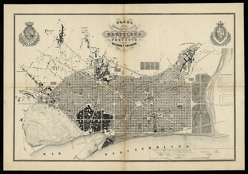
 | 1,677 × 1,114 (1.2 MB) | Amadalvarez | == Sumario == {{Information |Description= {{ca|Eixample de Barcelona. Pla dels voltants de la ciutat de Barcelona i del projecte per a la seva millora i ampliació, 1859.}} {{en|Enlargement map of Barcelona. Map of the neighborhoods of the city o |
File usage
The following pages on the English Wikipedia use this file (pages on other projects are not listed):
Global file usage
The following other wikis use this file:
- Usage on ast.wikipedia.org
- Usage on azb.wikipedia.org
- Usage on ca.wikipedia.org
- Usage on ca.wikibooks.org
- Usage on de.wikipedia.org
- Usage on eo.wikipedia.org
- Usage on es.wikipedia.org
- Distrito del Ensanche
- Ensanche
- Ildefonso Cerdá
- Historia del urbanismo en Europa
- Historia del urbanismo en España
- Higienismo
- Historia de Barcelona
- Ciudad ideal
- Ensanche de poblaciones en España
- Plan General de Ordenación Urbana
- Mercado de San Antonio (Barcelona)
- Plan Cerdá
- Hipoteca del derecho al aprovechamiento urbanístico
- Arquitectura de Barcelona
- Urbanismo de Barcelona
- Odonimia de Barcelona
- Usage on eu.wikipedia.org
- Usage on fr.wikipedia.org
- Usage on gl.wikipedia.org
View more global usage of this file.

