
Size of this preview:
800 × 477 pixels. Other resolutions:
320 × 191 pixels |
640 × 382 pixels |
1,024 × 611 pixels |
1,280 × 764 pixels |
2,356 × 1,406 pixels.
Original file (2,356 × 1,406 pixels, file size: 1.17 MB, MIME type: image/jpeg)
| This is a file from the
Wikimedia Commons. Information from its
description page there is shown below. Commons is a freely licensed media file repository. You can help. |
|
This is an image of a place or building that is listed on the
National Register of Historic Places in the
United States of America. Its reference number is
92000727. |
Summary
| Description |
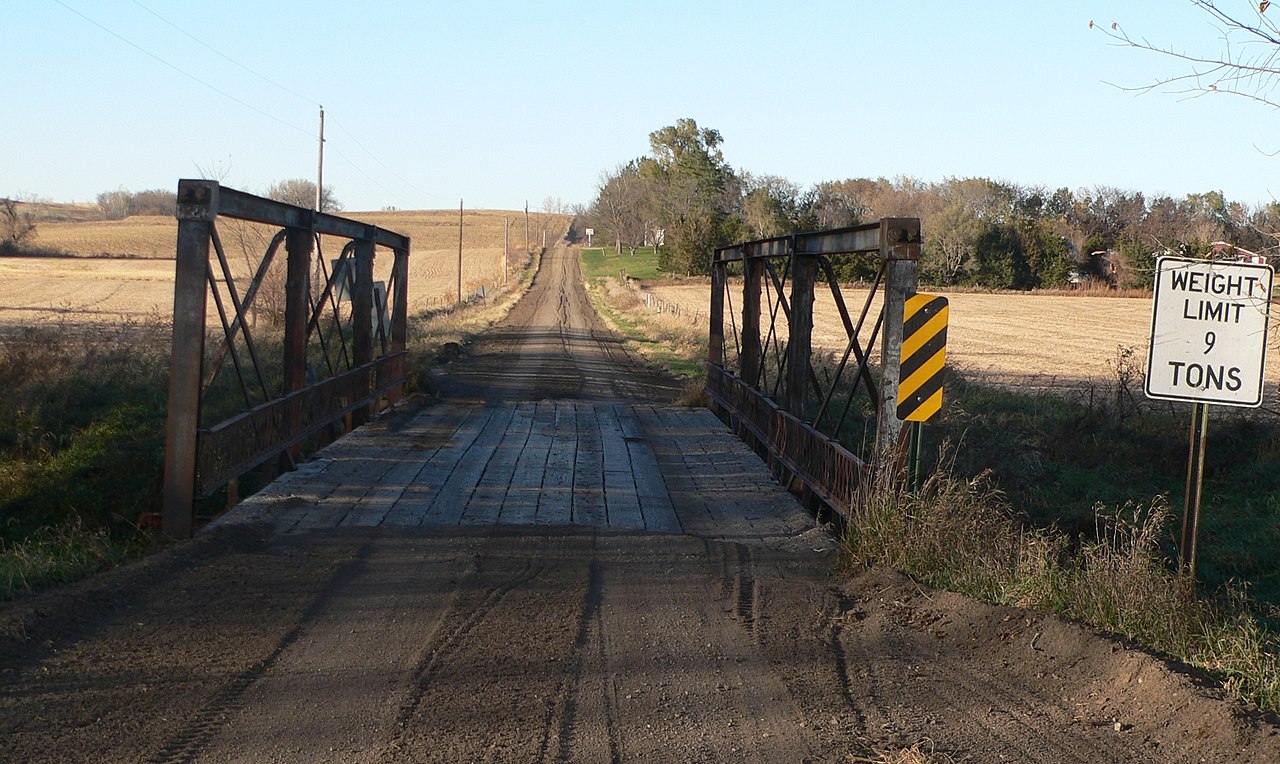
English:
North Omaha Creek Bridge southwest of
Winnebago in
Thurston County, Nebraska; seen from the south. The bridge carries county road 26 across the creek north of county road G. Upstream is west (left).
The bridge was built about 1905, and is listed in the
National Register of Historic Places. |
| Date | |
| Source | Own work |
| Author | Ammodramus |
| Object location |
| View this and other nearby images on: OpenStreetMap |
|
|---|
Licensing
| I, the copyright holder of this work, release this work into the
public domain. This applies worldwide. In some countries this may not be legally possible; if so: I grant anyone the right to use this work for any purpose, without any conditions, unless such conditions are required by law. |
File history
Click on a date/time to view the file as it appeared at that time.
| Date/Time | Thumbnail | Dimensions | User | Comment | |
|---|---|---|---|---|---|
| current | 13:44, 2 November 2010 |
| 2,356 × 1,406 (1.17 MB) | Ammodramus | {{Information |Description={{en|1={{w|North Omaha Creek Bridge}} southwest of Winnebago in {{w|Thurston County, Nebraska}}; seen from the south. The bridge carries county road 26 across the creek north of county road G. The bri |
File usage
The following pages on the English Wikipedia use this file (pages on other projects are not listed):
Global file usage
The following other wikis use this file:
- Usage on de.wikipedia.org
- Usage on www.wikidata.org