
Size of this PNG preview of this SVG file:
709 × 575 pixels. Other resolutions:
296 × 240 pixels |
592 × 480 pixels |
947 × 768 pixels |
1,263 × 1,024 pixels |
2,525 × 2,048 pixels.
Original file (SVG file, nominally 709 × 575 pixels, file size: 290 KB)
| This is a file from the
Wikimedia Commons. Information from its
description page there is shown below. Commons is a freely licensed media file repository. You can help. |
Summary
| Description |
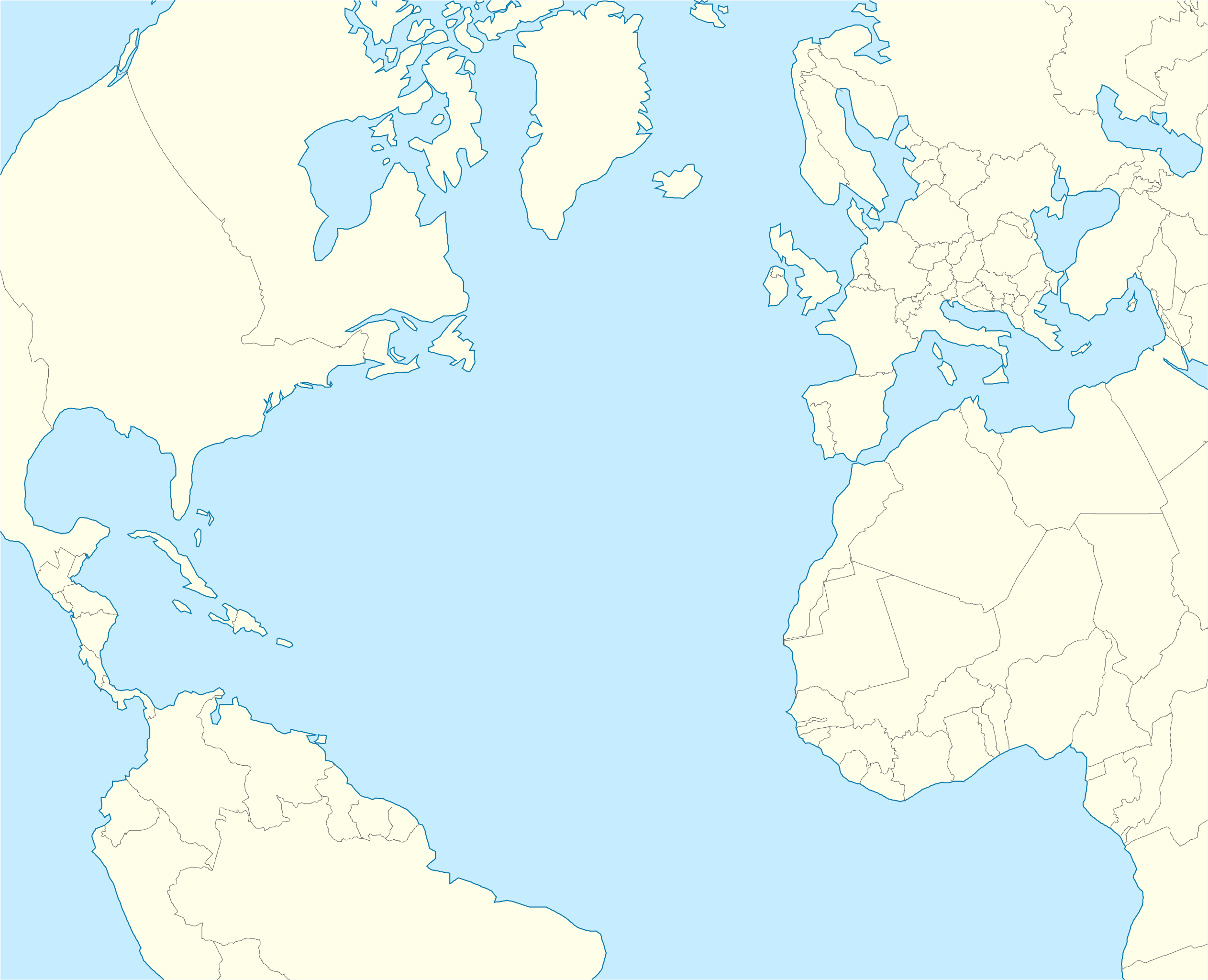
English: Relief location map of Atlantic_Ocean.
|
| Date | |
| Source | Own work |
| Author | Tentotwo |
Shell script for generating the map using GMT archive copy at the Wayback Machine
#!/bin/sh

# Set common options
PROJECTION=A-35.0/35.0/180/19.998266666666666c
REGION=-90.20792279565853/-21.091764445478827/71.02192702284165/38.61651360858501r
FILENAME=North_Atlantic_Ocean_laea_location_map.ps

# Get Natural Earth datafiles
echo "Downloading datafiles from naturalearthdata.com"
wget -nv -nc \
 http://www.naturalearthdata.com/http//www.naturalearthdata.com/download/110m/physical/110m-coastline.zip\
 http://www.naturalearthdata.com/http//www.naturalearthdata.com/download/110m/physical/110m-land.zip\
 http://www.naturalearthdata.com/http//www.naturalearthdata.com/download/110m/cultural/110m-admin-0-boundary-lines.zip
echo "...done\n"

echo "Inflating archives"
unzip 110m\*.zip
echo "...done\n"

echo "Converting shapefiles to GMT"
ogr2ogr -F GMT 110m_land.gmt 110m_land.shp
ogr2ogr -F GMT 110m_coastline.gmt 110m_coastline.shp
ogr2ogr -F GMT 110m_borders.gmt 110m_admin_0_boundary_lines_land.shp
echo "...done\n"

echo "Creating maps"
GMT psxy -m -J$PROJECTION -R$REGION --PAGE_COLOR=198/236/255  --POLAR_CAP=none --PAPER_MEDIA=A3  --BASEMAP_TYPE=plain --BASEMAP_AXES=NESW --FRAME_PEN=0.15p,black 110m_land.gmt -K -G254/254/233 > $FILENAME
GMT psxy -m -J$PROJECTION -R$REGION 110m_coastline.gmt -O -K -W0.535p,9/120/171  >> $FILENAME
GMT psxy -m -J$PROJECTION -R$REGION 110m_borders.gmt -O -W100/100/100  >> $FILENAME
echo "...done\n"

echo "You can now open $FILENAME in Inkscape to clean up the file and save it as SVG. You should add an ocean coloured background and simplify the graticules using CTRL+L."

gv $FILENAME
Licensing
I, the copyright holder of this work, hereby publish it under the following license:
This file is licensed under the
Creative Commons
Attribution-Share Alike 3.0 Unported license.
- You are free:
- to share – to copy, distribute and transmit the work
- to remix – to adapt the work
- Under the following conditions:
- attribution – You must give appropriate credit, provide a link to the license, and indicate if changes were made. You may do so in any reasonable manner, but not in any way that suggests the licensor endorses you or your use.
- share alike – If you remix, transform, or build upon the material, you must distribute your contributions under the same or compatible license as the original.
File history
Click on a date/time to view the file as it appeared at that time.
| Date/Time | Thumbnail | Dimensions | User | Comment | |
|---|---|---|---|---|---|
| current | 21:20, 31 January 2012 |
| 709 × 575 (290 KB) | Tentotwo | Corrected borders |
| 14:25, 31 January 2012 |
 | 709 × 575 (247 KB) | Tentotwo |
File usage
The following pages on the English Wikipedia use this file (pages on other projects are not listed):
- Adalbert Schneider
- Aktau International Airport
- Algerine Seamount
- American Scout Seamount
- Anton Dohrn Seamount
- Atatürk Airport
- Atlantic campaign of May 1794
- Atyrau Airport
- Birma Seamount
- CS Ocean Layer
- Carpathia Seamount
- Cengiz Topel Naval Air Station
- Convoy HG 76
- Corner Rise Seamounts
- Echo Bank
- Fogo Seamounts
- GN convoys
- German submarine U-48 (1939)
- Günther Lütjens
- HMS Audacity
- Hebrides Terrace Seamount
- Henry Seamount
- IQA World Cup
- Istanbul Airport
- João Paulo II Airport
- Kolbeinsey
- Krylov Seamount
- L.F. Wade International Airport
- List of sunken nuclear submarines
- MV Empire Comet
- MV Prins Harald
- Mackay-Bennett Seamount
- Mary Celeste
- Melbourne Orlando International Airport
- Miami Terrace Reef
- Miquelon Airport
- Montmagny Seamount
- Mount Temple Seamount
- New England Seamounts
- Norman Manley International Airport
- Otis Air National Guard Base
- Piracy in the Atlantic World
- Qaqortoq
- Researcher Ridge
- SMS Teodo
- SS Empire Bell
- SS Empire Bowman
- SS Empire Breeze
- SS Empire Buffalo
- SS Empire Celt
- SS Empire Clough
- SS Empire Dell
- SS Empire Dew
- SS Empire Dorado
- SS Empire Eland
- SS Empire Endurance
- SS Empire Engineer
- SS Empire Fusilier
- SS Irish Oak (1919)
- Sabiha Gökçen International Airport
- Saint-Pierre Pointe-Blanche Airport
- Trappist beer
- Tropic Seamount
- Tórshavn
- USS West Lianga
- Werner Hartenstein
- Talk:Titan submersible implosion/Archive 1
- User:Aidann/sandbox
- User:Fantech0104/sandbox
- User:Hurricanehink/Main
- User:Masaqui/sandbox/Ocean disposal of radioactive waste
- User:Mjroots/sandbox
- Wikipedia talk:WikiProject Airports/Archive 19
- Module:Location map/data/North Atlantic
- Module:Location map/data/North Atlantic/doc
Global file usage
The following other wikis use this file:
- Usage on an.wikipedia.org
- Las Palmas de Gran Canaria
- Santa Cruz de Tenerife
- Funchal
- Praia
- Seu de Funchal
- Calheta (Madeira)
- Câmara de Lobos
- Machico
- Ponta do Sol
- Porto Santo
- Porto Moniz
- Ribeira Brava (Madeira)
- Santa Cruz (Madeira)
- Santana (Madeira)
- São Vicente (Madeira)
- Aeropuerto de Madeira
- Aeropuerto de Porto Santo
- Fortaleza-Palacio de São Lourenço
- Casa d'a Villa de Funchal
- Puent João Gomes
- Mercau dos Lavradores
- Aeropuerto Chuan-Pavlo II
- Fuerte de São José
- Fortaleza de Nossa Senhora da Conceição do Ilhéu
- Fortaleza de São Tiago do Funchal
- Aeropuerto de Lajes
- Aeropuerto d'Horta
- Aeropuerto de Santa María
- Aerodromo de Corvo
- Aeropuerto de Flores
- Aerodromo de Graciosa
- Aeropuerto de Pico
- Aerodromo de São Jorge
- Vila Baleira
- San Cristóbal de La Laguna
- Valverde (El Hierro)
- Granadilla de Abona
- Plantilla:Mapa de localización Oceano Atlantico Norte
- Hamilton (Bermudas)
- Usage on ar.wikipedia.org
- Usage on ast.wikipedia.org
- Usage on azb.wikipedia.org
- Usage on az.wikipedia.org
View more global usage of this file.