
Size of this PNG preview of this SVG file:
800 × 538 pixels. Other resolutions:
320 × 215 pixels |
640 × 431 pixels |
1,024 × 689 pixels |
1,280 × 862 pixels |
2,560 × 1,723 pixels |
6,063 × 4,081 pixels.
Original file (SVG file, nominally 6,063 × 4,081 pixels, file size: 12 KB)
| This is a file from the
Wikimedia Commons. Information from its
description page there is shown below. Commons is a freely licensed media file repository. You can help. |
Summary
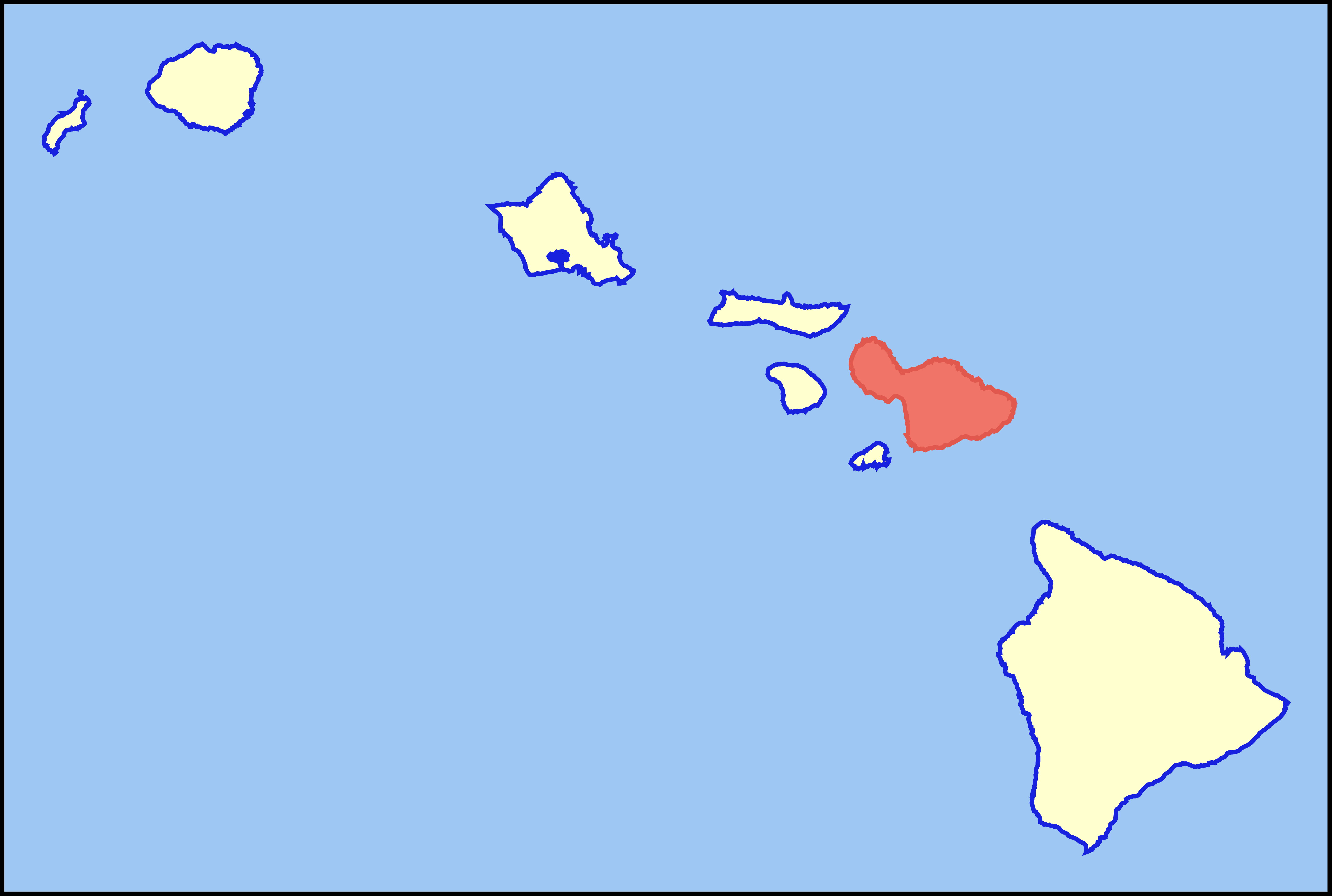
| Description | Colored locator map for the island of Maui |
| Date | |
| Source | Based on the SVG file that was released to the public domain by David Benbennick at Wikipedia: Image:Map_of_Hawaii_highlighting_Kalawao_County.svg |
| Author | MattWright |
Licensing
| This work has been released into the
public domain by its author, I,
MattWright. This applies worldwide. In some countries this may not be legally possible; if so: I, MattWright grants anyone the right to use this work for any purpose, without any conditions, unless such conditions are required by law. |
File history
Click on a date/time to view the file as it appeared at that time.
| Date/Time | Thumbnail | Dimensions | User | Comment | |
|---|---|---|---|---|---|
| current | 08:38, 30 July 2007 |
| 6,063 × 4,081 (12 KB) | MattWright | == Summary == {{Information |Description=Colored locator map for the island of Maui |Source=Based on the SVG file that was released to the public domain by [http://commons.wikimedia.org/wiki/User:Dbenbenn David Benbennick] at [http://en.wikipedia.org/wiki |
File usage
The following pages on the English Wikipedia use this file (pages on other projects are not listed):
- Bailey House Museum
- Chee Kung Tong Society Building
- Chinese Society Halls on Maui
- Crater Historic District
- Fred C. Baldwin Memorial Home
- Haiku Mill
- Halekiʻi-Pihana Heiau State Monument
- Hana Highway
- Henry Perrine Baldwin High School
- History of Maui
- Holy Ghost Catholic Church (Kula, Hawaii)
- Kaahumanu Church
- Kahanu Garden
- Kalepolepo Fishpond
- Kaupo School
- Keanae School
- Keleanohoanaʻapiʻapi
- Lahaina Historic District
- Lahainaluna High School
- Loʻaloʻa Heiau
- Makawao Union Church
- Maria Lanakila Catholic Church
- Megalagrion nesiotes
- Mokuʻula
- National Register of Historic Places listings in Hawaii
- Paia Elementary School
- Puunene School
- Waihee Church
- Wailuku Civic Center Historic District
- Wailuku Elementary School
- Waiola Church
- Wananalua Congregational Church
- Wo Hing Society Hall
- ʻĪao Theater
- Wikipedia:Graphics Lab/Map workshop/Archive/2017
- Template:NRHP in Maui, Hawaii
Global file usage
The following other wikis use this file:
- Usage on af.wikipedia.org
- Usage on als.wikipedia.org
- Usage on ar.wikipedia.org
- Usage on ary.wikipedia.org
- Usage on az.wikipedia.org
- Usage on be.wikipedia.org
- Usage on br.wikipedia.org
- Usage on bs.wikipedia.org
- Usage on ca.wikipedia.org
- Usage on da.wikipedia.org
- Usage on de.wikipedia.org
- Usage on el.wikipedia.org
- Usage on eo.wikipedia.org
- Usage on es.wikipedia.org
- Usage on fy.wikipedia.org
- Usage on ga.wikipedia.org
- Usage on haw.wikipedia.org
- Usage on hu.wikipedia.org
- Usage on id.wikipedia.org
- Usage on it.wikipedia.org
- Usage on it.wikivoyage.org
- Usage on ja.wikipedia.org
- Usage on ka.wikipedia.org
- Usage on ko.wikipedia.org
- Usage on lt.wikipedia.org
- Usage on ms.wikipedia.org
- Usage on pl.wikipedia.org
- Usage on pt.wikipedia.org
- Usage on ro.wikipedia.org
- Usage on sk.wikipedia.org
- Usage on sv.wikipedia.org
- Usage on uk.wikipedia.org
- Usage on vi.wikipedia.org
View more global usage of this file.