
Size of this preview:
800 × 516 pixels. Other resolutions:
320 × 206 pixels |
640 × 412 pixels |
1,024 × 660 pixels |
1,280 × 825 pixels |
2,560 × 1,650 pixels |
3,625 × 2,336 pixels.
Original file (3,625 × 2,336 pixels, file size: 2.14 MB, MIME type: image/jpeg)
| This is a file from the
Wikimedia Commons. Information from its
description page there is shown below. Commons is a freely licensed media file repository. You can help. |
Summary
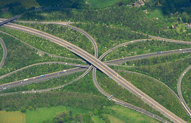
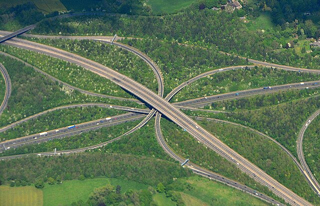
| Description | Motorway interchange between the M25 and M25 motorways in Surrey, England. The M25 (lowest level) is running across the centre of the image and the M23 (uppermost level) curves from bottom right to top left. |
| Date | |
| Source | Crossover |
| Author | Mike McBey |
| Camera location | | View this and other nearby images on: OpenStreetMap |
|
|---|
Licensing
This file is licensed under the
Creative Commons
Attribution 2.0 Generic license.
- You are free:
- to share – to copy, distribute and transmit the work
- to remix – to adapt the work
- Under the following conditions:
- attribution – You must give appropriate credit, provide a link to the license, and indicate if changes were made. You may do so in any reasonable manner, but not in any way that suggests the licensor endorses you or your use.
| This image was originally posted to Flickr by M McBey at https://flickr.com/photos/158652122@N02/48732453621. It was reviewed on 15 February 2021 by FlickreviewR 2 and was confirmed to be licensed under the terms of the cc-by-2.0. |
File history
Click on a date/time to view the file as it appeared at that time.
| Date/Time | Thumbnail | Dimensions | User | Comment | |
|---|---|---|---|---|---|
| current | 15:38, 15 February 2021 |
| 3,625 × 2,336 (2.14 MB) | Matlin | Transferred from Flickr via #flickr2commons |
File usage
The following pages on the English Wikipedia use this file (pages on other projects are not listed):
Global file usage
The following other wikis use this file:
- Usage on uk.wiktionary.org