Size of this preview:
800 × 600 pixels. Other resolutions:
320 × 240 pixels |
640 × 480 pixels |
1,024 × 768 pixels |
1,280 × 960 pixels |
1,600 × 1,200 pixels.
Original file (1,600 × 1,200 pixels, file size: 341 KB, MIME type: image/jpeg)
| This is a file from the
Wikimedia Commons. Information from its
description page there is shown below. Commons is a freely licensed media file repository. You can help. |
| Description |
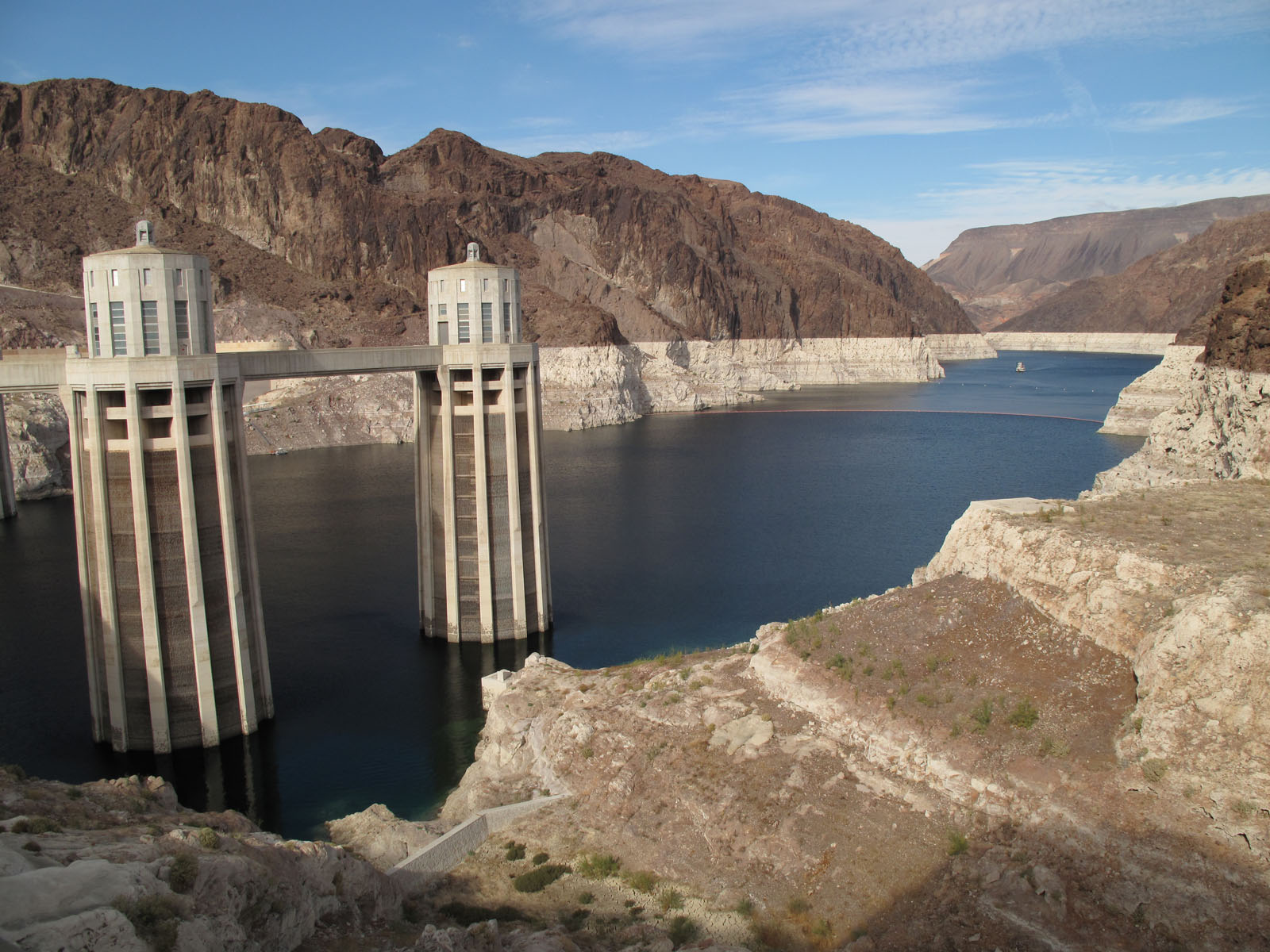
English: Lake Mead and Hoover Dam water intake towers, as seen from the Arizona side of Hoover Dam. |
||
| Date | |||
| Source | File:Lake_mead_july_2009.jpg file history | ||
| Author | Cmpxchg8b | ||
| Permission ( Reusing this file) |
|
||
| Other versions |
 The same view in July 2009 The same view in July 2009 |
| Camera location |
| View this and other nearby images on: OpenStreetMap |
|
|---|
File history
Click on a date/time to view the file as it appeared at that time.
| Date/Time | Thumbnail | Dimensions | User | Comment | |
|---|---|---|---|---|---|
| current | 19:51, 20 May 2021 |
| 1,600 × 1,200 (341 KB) | Jsayre64 | {{Information |Description={{en|1=Lake Mead and Hoover Dam water intake towers, as seen from the Arizona side of Hoover Dam.}} |Source= File:Lake_mead_july_2009.jpg file history |Date=October 2010 |Author= Cmpxchg8b |Permission={{PD-user|Cmpxchg8b}} |other_versions= }} {{Location|36|0|51.5|N|114|44|10.2|W}} Category:Lake Mead at Hoover Dam Category:Water intake towers at Hoover Dam |
File usage
The following pages on the English Wikipedia use this file (pages on other projects are not listed):
Global file usage
The following other wikis use this file:
- Usage on he.wikipedia.org
- Usage on it.wikipedia.org
- Usage on zh.wikipedia.org