
Size of this preview:
800 × 599 pixels. Other resolutions:
320 × 239 pixels |
640 × 479 pixels |
1,024 × 766 pixels |
1,280 × 958 pixels |
2,288 × 1,712 pixels.
Original file (2,288 × 1,712 pixels, file size: 778 KB, MIME type: image/jpeg)
| This is a file from the
Wikimedia Commons. Information from its
description page there is shown below. Commons is a freely licensed media file repository. You can help. |
Summary
| Description |
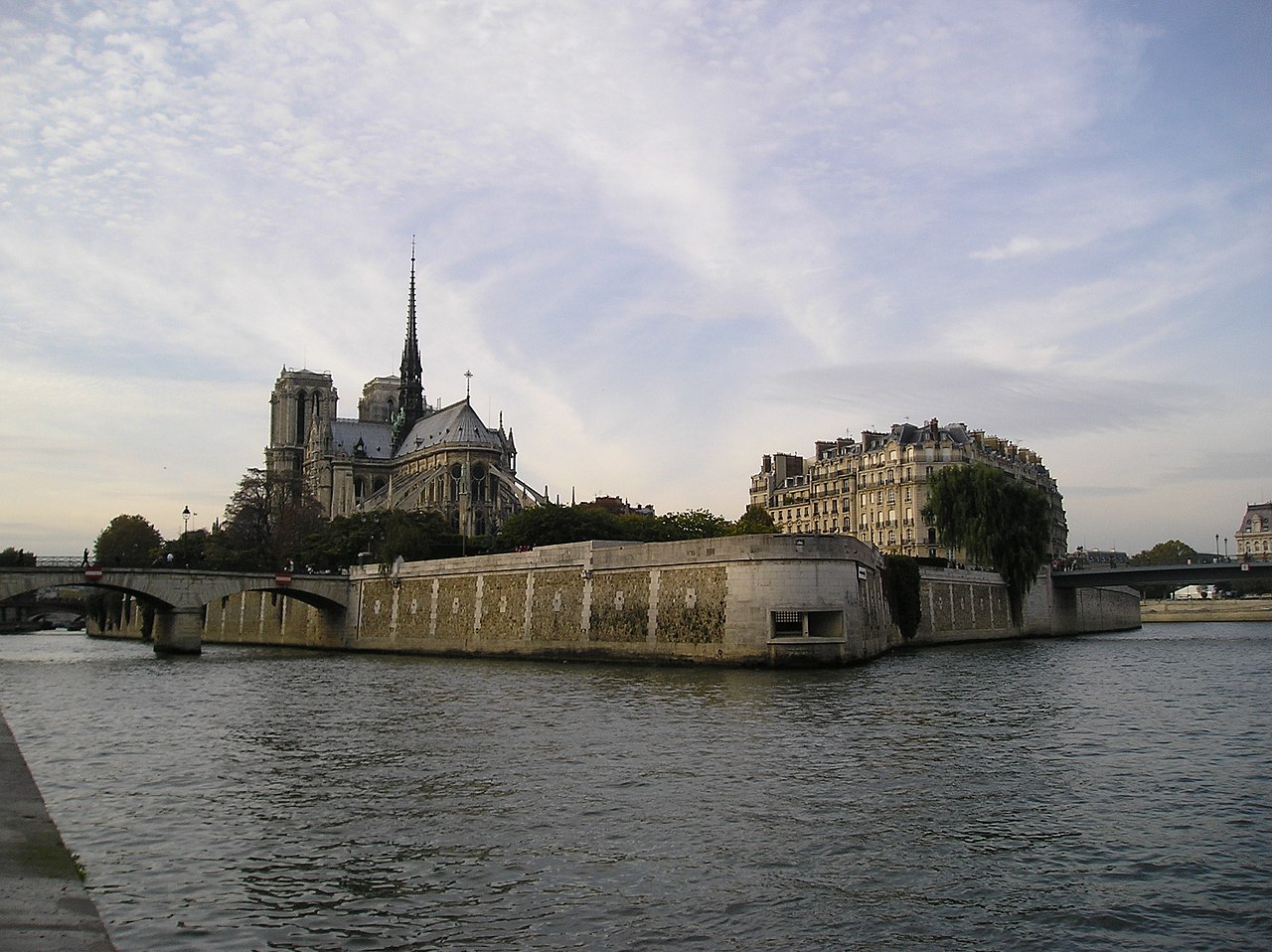
Français :
Paris,
Île de la Cité, pointe est avec, au premier plan, le
Mémorial des Martyrs de la Déportation. Photo prise du
Port de la Tournelle
DatePhotographe amateurPhotographie prise par François Trazzi |
| Date | 26 October 2004 (original upload date) |
| Source | Transferred from fr.wikipedia to Commons. |
| Author | The original uploader was Francois Trazzi at French Wikipedia. |
| Camera location | | View this and other nearby images on: OpenStreetMap |
|
|---|
Licensing

|
Permission is granted to copy, distribute and/or modify this document under the terms of the GNU Free Documentation License, Version 1.2 or any later version published by the Free Software Foundation; with no Invariant Sections, no Front-Cover Texts, and no Back-Cover Texts. A copy of the license is included in the section entitled GNU Free Documentation License. |
| This file is licensed under the Creative Commons Attribution-Share Alike 3.0 Unported license. | ||
| ||
| This licensing tag was added to this file as part of the GFDL licensing update. |
Original upload log
The original description page was
here. All following user names refer to fr.wikipedia.
- 2004-10-26 20:31 Francois Trazzi 2288×1712×8 (796628 bytes)
File history
Click on a date/time to view the file as it appeared at that time.
| Date/Time | Thumbnail | Dimensions | User | Comment | |
|---|---|---|---|---|---|
| current | 12:38, 12 March 2007 |
| 2,288 × 1,712 (778 KB) | Kameraad Pjotr | {{Information |Description=__notoc__ fr:Île de la Cité à fr:Paris, vue du fr:port de la Tournelle ===Date=== fr:Octobre 2004 ===Photographe amateur=== Photographie prise par François Trazzi |Sour |
File usage
The following pages on the English Wikipedia use this file (pages on other projects are not listed):
Global file usage
The following other wikis use this file:
- Usage on be-tarask.wikipedia.org
- Usage on be.wikipedia.org
- Usage on ca.wikipedia.org
- Usage on it.wikinews.org
- Usage on ko.wikipedia.org
- Usage on oc.wikipedia.org
- Usage on ru.wikipedia.org
- Usage on sl.wikipedia.org
- Usage on uk.wikipedia.org