Size of this preview:
800 × 533 pixels. Other resolutions:
320 × 213 pixels |
640 × 427 pixels |
1,024 × 683 pixels |
1,280 × 853 pixels |
2,560 × 1,707 pixels |
3,456 × 2,304 pixels.
Original file (3,456 × 2,304 pixels, file size: 3.86 MB, MIME type: image/jpeg)
| This is a file from the
Wikimedia Commons. Information from its
description page there is shown below. Commons is a freely licensed media file repository. You can help. |
_Jewish_Couples_at_Bus_Stop_-_Outside_Old_City_-_Jerusalem_(5684561290).jpg)
Summary
| Description |
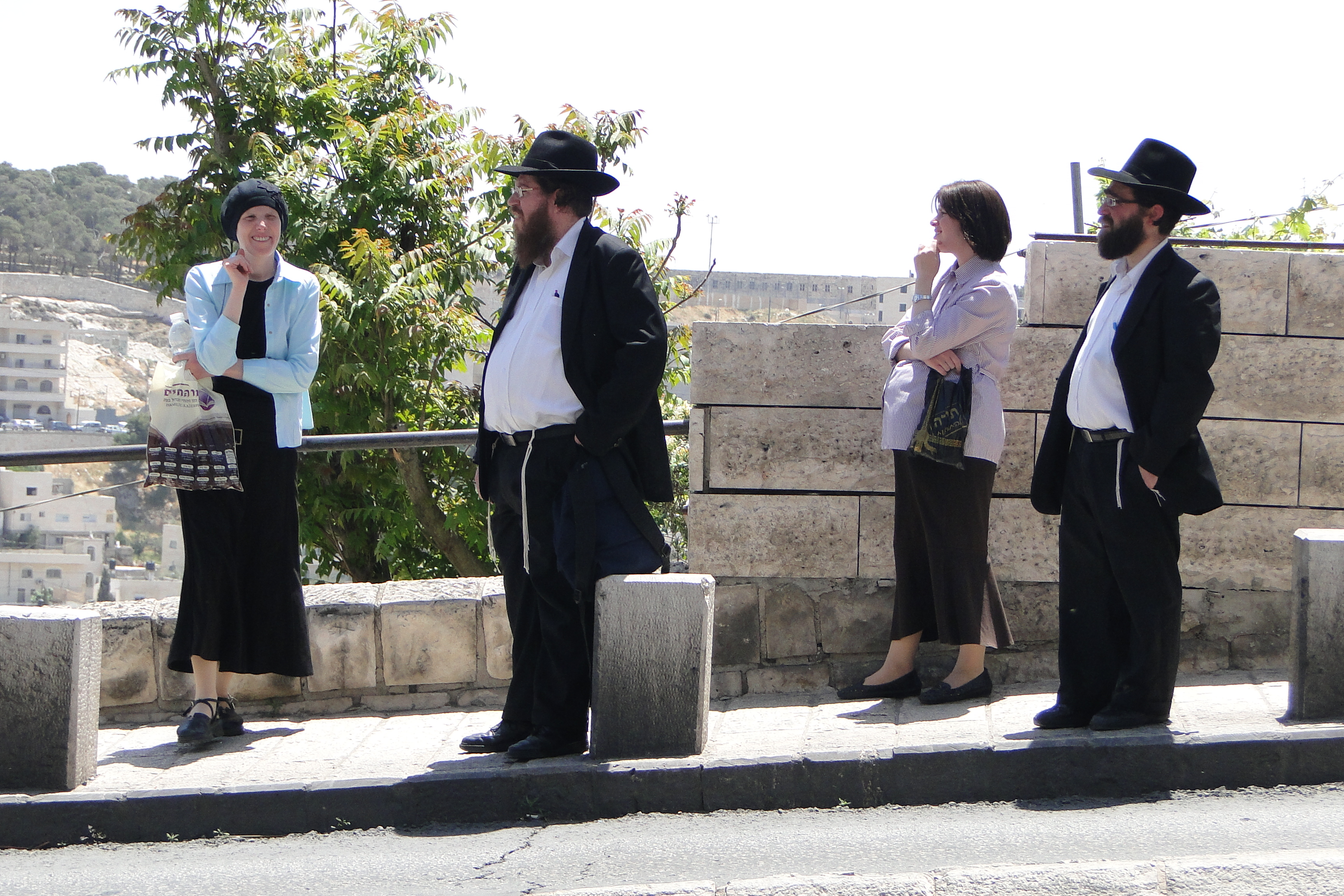
English: Jerusalem, Mount Zion, Ma'ale HaShalom street and Silwan in the background - Haredi (Orthodox) Jewish Couples at Bus Stop - Outside Old City - Jerusalem |
| Date | |
| Source | Haredi (Orthodox) Jewish Couples at Bus Stop - Outside Old City - Jerusalem |
| Author | Adam Jones from Kelowna, BC, Canada |
| Camera location | | View this and other nearby images on: OpenStreetMap |
|
|---|
_Jewish_Couples_at_Bus_Stop_-_Outside_Old_City_-_Jerusalem_(5684561290).jpg¶ms=031.774285_N_0035.233677_E_globe:Earth_type:camera_heading:90.00&language=en)

|
Although this work is freely licensed or in the public domain, the person(s) shown may have rights that legally restrict certain re-uses unless those depicted consent to such uses. In these cases, a model release or other evidence of consent could protect you from infringement claims. Though not obliged to do so, the uploader may be able to help you to obtain such evidence. See our general disclaimer for more information. |
Licensing
This file is licensed under the
Creative Commons
Attribution-Share Alike 2.0 Generic license.
- You are free:
- to share – to copy, distribute and transmit the work
- to remix – to adapt the work
- Under the following conditions:
- attribution – You must give appropriate credit, provide a link to the license, and indicate if changes were made. You may do so in any reasonable manner, but not in any way that suggests the licensor endorses you or your use.
- share alike – If you remix, transform, or build upon the material, you must distribute your contributions under the same or compatible license as the original.
| This image was originally posted to Flickr by Adam Jones, Ph.D. - Global Photo Archive at https://www.flickr.com/photos/41000732@N04/5684561290. It was reviewed on 15 September 2014 by FlickreviewR and was confirmed to be licensed under the terms of the cc-by-sa-2.0. |
File history
Click on a date/time to view the file as it appeared at that time.
| Date/Time | Thumbnail | Dimensions | User | Comment | |
|---|---|---|---|---|---|
| current | 16:06, 14 September 2014 |
| 3,456 × 2,304 (3.86 MB) | Geagea | Transferred from Flickr via Flickr2commons |
File usage
The following pages on the English Wikipedia use this file (pages on other projects are not listed):
Global file usage
The following other wikis use this file:
- Usage on ar.wikipedia.org
- Usage on br.wikipedia.org
- Usage on da.wikipedia.org
- Usage on de.wikipedia.org
- Usage on eo.wikipedia.org
- Usage on he.wikipedia.org
- Usage on hi.wikipedia.org
- Usage on id.wikipedia.org
- Usage on it.wikivoyage.org
- Usage on ko.wikipedia.org
- Usage on ta.wikipedia.org
- Usage on zh.wikipedia.org
_Jewish_Couples_at_Bus_Stop_-_Outside_Old_City_-_Jerusalem_(5684561290).jpg)