
Size of this preview:
800 × 600 pixels. Other resolutions:
320 × 240 pixels |
640 × 480 pixels |
1,024 × 768 pixels |
1,280 × 960 pixels |
2,560 × 1,920 pixels |
2,816 × 2,112 pixels.
Original file (2,816 × 2,112 pixels, file size: 1.51 MB, MIME type: image/jpeg)
| This is a file from the
Wikimedia Commons. Information from its
description page there is shown below. Commons is a freely licensed media file repository. You can help. |
Summary
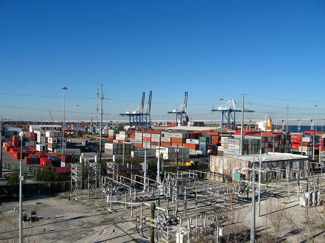
| Description | Distant view of the Columbus Street Pier terminal in downtown Charleston, S.C. I was standing on top of the Fort Sumter/S.C. Aquarium city parking structure facing approximately NNE. |
| Date | |
| Source | Own work |
| Author | JonathanLamb |
| Camera location |
| View this and other nearby images on: OpenStreetMap |
|
|---|
Licensing
| I, the copyright holder of this work, release this work into the
public domain. This applies worldwide. In some countries this may not be legally possible; if so: I grant anyone the right to use this work for any purpose, without any conditions, unless such conditions are required by law. |
File history
Click on a date/time to view the file as it appeared at that time.
| Date/Time | Thumbnail | Dimensions | User | Comment | |
|---|---|---|---|---|---|
| current | 04:15, 29 June 2007 |
| 2,816 × 2,112 (1.51 MB) | JonathanLamb~commonswiki | {{Information |Description=Distant view of the Columbus Street Pier terminal in downtown Charleston, S.C. I was standing on top of the Fort Sumter/S.C. Aquarium city parking structure facing approximately NNE. |Source=self-made |Date=1/26/2007 |Author= [[ |
File usage
The following pages on the English Wikipedia use this file (pages on other projects are not listed):
Global file usage
The following other wikis use this file:
- Usage on en.wikiquote.org
- Usage on ja.wikipedia.org
- Usage on ru.wikipedia.org
- Usage on th.wikipedia.org
- Usage on zh.wikipedia.org