
Size of this preview:
800 × 600 pixels. Other resolutions:
320 × 240 pixels |
640 × 480 pixels |
1,024 × 768 pixels |
1,280 × 960 pixels |
1,600 × 1,200 pixels.
Original file (1,600 × 1,200 pixels, file size: 821 KB, MIME type: image/jpeg)
| This is a file from the
Wikimedia Commons. Information from its
description page there is shown below. Commons is a freely licensed media file repository. You can help. |
|
This is an image of a place or building that is listed on the
National Register of Historic Places in the
United States of America. Its reference number is
87000935. |
Summary
| Description |
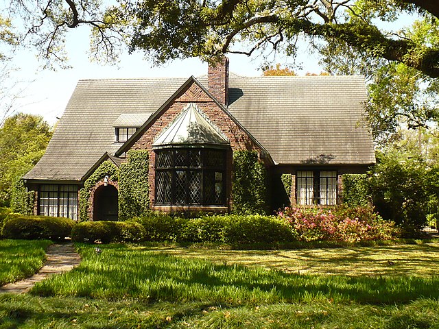
English: 109 Lanier Avenue, within the Ashland Place Historic District in Mobile, Alabama. |
||
| Date | |||
| Source | Own work | ||
| Author | Altairisfar | ||
| Permission ( Reusing this file) |
|
| Object location |
| View this and other nearby images on: OpenStreetMap |
|
|---|
File history
Click on a date/time to view the file as it appeared at that time.
| Date/Time | Thumbnail | Dimensions | User | Comment | |
|---|---|---|---|---|---|
| current | 14:39, 31 March 2008 |
| 1,600 × 1,200 (821 KB) | Altairisfar | == Summary == {{Information |Description={{en|A home within the Ashland Place Historic District in Mobile, Alabama.}} |Source=self-made |Date=2008 |Author= Altairisfar |Permission={{PD-self}} }} [[Category:Ashland Place Historic Dist |
File usage
The following pages on the English Wikipedia use this file (pages on other projects are not listed):
Global file usage
The following other wikis use this file:
- Usage on de.wikipedia.org
- Usage on pt.wikipedia.org
- Usage on tr.wikipedia.org