
Size of this preview:
800 × 600 pixels. Other resolutions:
320 × 240 pixels |
640 × 480 pixels |
1,024 × 768 pixels |
1,280 × 960 pixels |
2,560 × 1,920 pixels |
3,072 × 2,304 pixels.
Original file (3,072 × 2,304 pixels, file size: 3.2 MB, MIME type: image/jpeg)
| This is a file from the
Wikimedia Commons. Information from its
description page there is shown below. Commons is a freely licensed media file repository. You can help. |
Summary
| Author |
Vesna Vujicic-Lugassy |
||||
| Description |
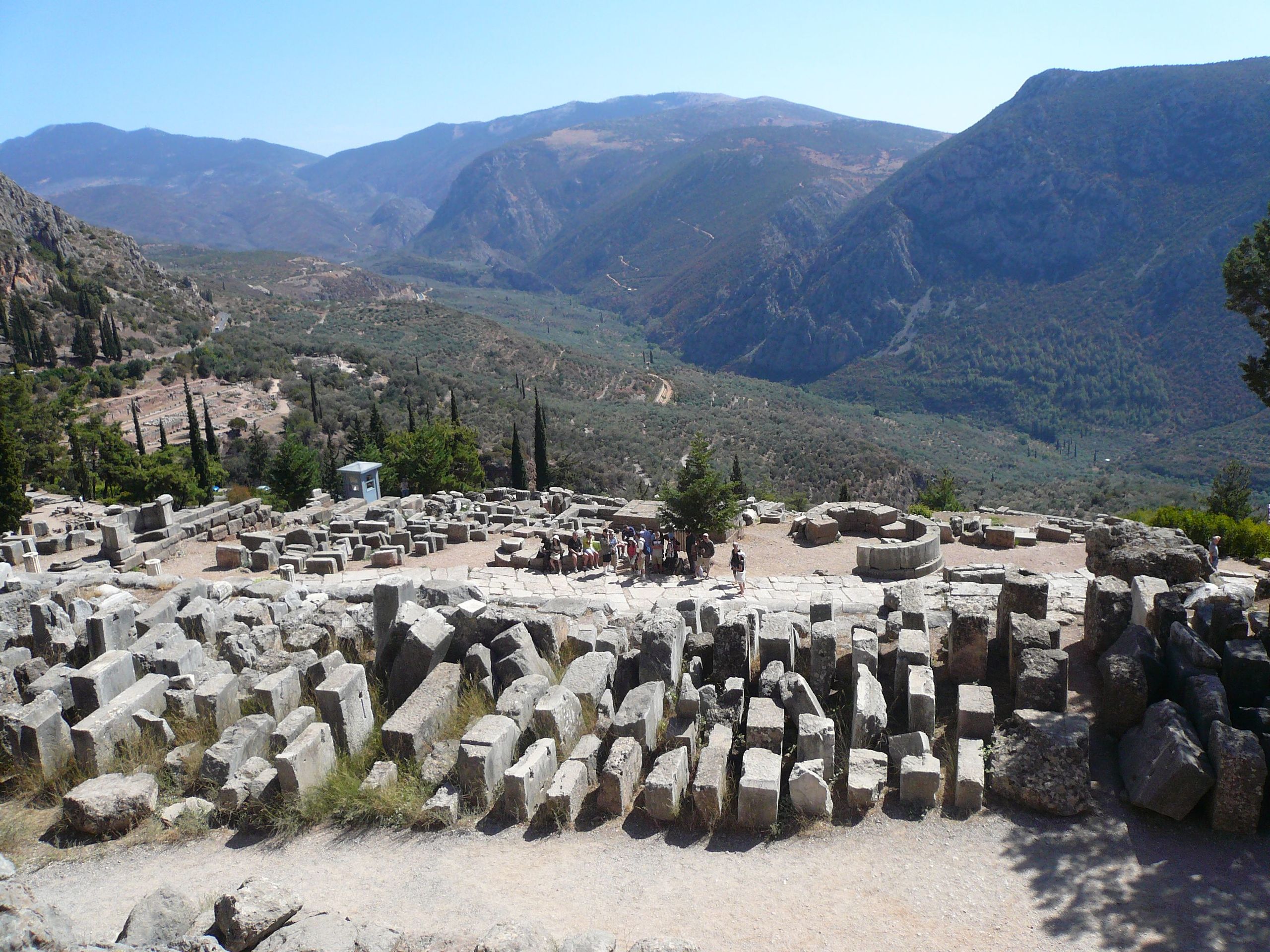
English: Archaeological Site of Delphi Français : Site archéologique de Delphes Español: Sitio arqueológico de Delfos 日本語: デルフィの古代遺跡 中文:德尔斐考古遗址 Nederlands: Archeologische stad Delphi Русский: Археологические памятники Дельф العربية: موقع دلف الأثري Română: Situl arheologic din Delfi |
||||
| Depicted place | Delphi | ||||
| Date | 1 September 2007 | ||||
| Source |
|

|
This file was made available as part of the Connected Open Heritage project. The project is led by Wikimedia Sverige in cooperation with UNESCO, Wikimedia Italia and Cultural Heritage without Borders and is financed by a project grant from the Culture Foundation of the Swedish Postcode Lottery. |
|
38°28′53″N 22°29′46″E / 38.4814900000°N 22.4961700000°E
Licensing
This file is licensed under the
Creative Commons
Attribution-ShareAlike 3.0 IGO license.
- You are free:
- to share – to copy, distribute and transmit the work
- to remix – to adapt the work
- Under the following conditions:
- attribution – You must give appropriate credit, provide a link to the license, and indicate if changes were made. You may do so in any reasonable manner, but not in any way that suggests the licensor endorses you or your use.
- share alike – If you remix, transform, or build upon the material, you must distribute your contributions under the same or compatible license as the original.
| Camera location |
| View this and other nearby images on: OpenStreetMap |
|
|---|
File history
Click on a date/time to view the file as it appeared at that time.
| Date/Time | Thumbnail | Dimensions | User | Comment | |
|---|---|---|---|---|---|
| current | 09:59, 19 April 2017 |
| 3,072 × 2,304 (3.2 MB) | Eric00000007 |
File usage
The following pages on the English Wikipedia use this file (pages on other projects are not listed):
Global file usage
The following other wikis use this file: