Size of this preview:
800 × 533 pixels. Other resolutions:
320 × 213 pixels |
640 × 427 pixels |
1,024 × 682 pixels |
1,280 × 853 pixels.
Original file (1,280 × 853 pixels, file size: 997 KB, MIME type: image/jpeg)
| This is a file from the
Wikimedia Commons. Information from its
description page there is shown below. Commons is a freely licensed media file repository. You can help. |
| Description |
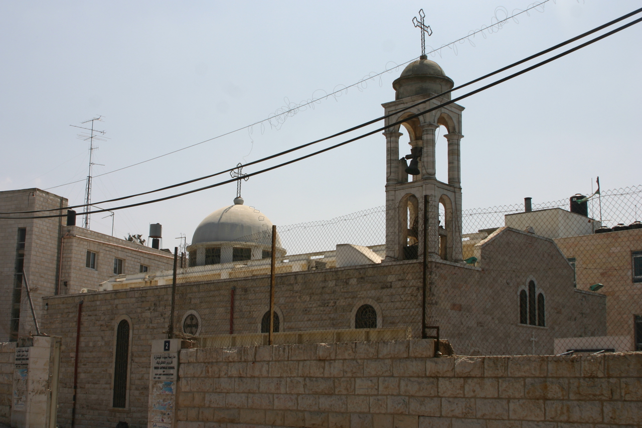
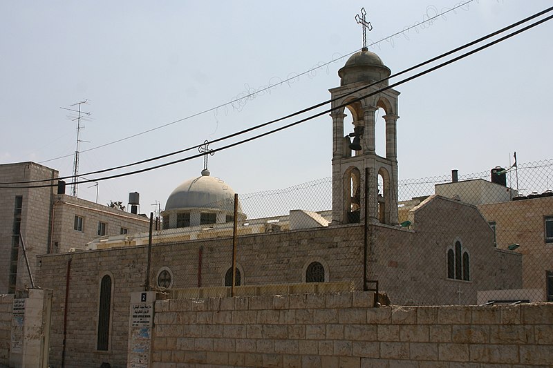
Deutsch: Kirche in
Ramallah, Palästina.
|
||||
| Date | |||||
| Source | Own work | ||||
| Author | Ralf Lotys (Sicherlich) | ||||
| Permission ( Reusing this file) |
This file is licensed under the
Creative Commons
Attribution 3.0 Unported license.
|
||||
| Other versions |
 |

File history
Click on a date/time to view the file as it appeared at that time.
| Date/Time | Thumbnail | Dimensions | User | Comment | |
|---|---|---|---|---|---|
| current | 08:23, 24 August 2010 |
| 1,280 × 853 (997 KB) | Sicherlich |
File usage
The following pages on the English Wikipedia use this file (pages on other projects are not listed):
Global file usage
The following other wikis use this file:
- Usage on ar.wikipedia.org
- Usage on bn.wikipedia.org
- Usage on id.wikipedia.org
- Usage on ilo.wikipedia.org
- Usage on lt.wikipedia.org
- Usage on mk.wikipedia.org
- Usage on ne.wikipedia.org
- Usage on ru.wikipedia.org
- Usage on sco.wikipedia.org
- Usage on th.wikipedia.org
- Usage on ur.wikipedia.org
- Usage on zh.wikipedia.org