
Size of this preview:
800 × 450 pixels. Other resolutions:
320 × 180 pixels |
640 × 360 pixels |
1,024 × 575 pixels |
1,280 × 719 pixels |
2,560 × 1,439 pixels |
4,801 × 2,698 pixels.
Original file (4,801 × 2,698 pixels, file size: 8.19 MB, MIME type: image/jpeg)
| This is a file from the
Wikimedia Commons. Information from its
description page there is shown below. Commons is a freely licensed media file repository. You can help. |
Summary
| Description |
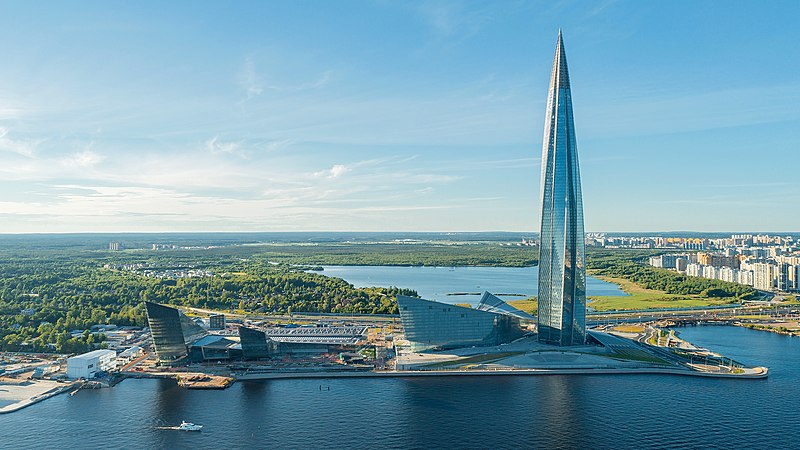
Русский: Комплекс Лахта центр в 2021 году
English: Lakhta Center complex in 2021 |
| Date | |
| Source | Own work |
| Author | Anton Galakhov |
| Camera location |
| View this and other nearby images on: OpenStreetMap |
|
|---|
Licensing
- Object
|
According to article 1276 of the
Civil Code of Russia in the amendment of October 1, 2014, it shall be allowed to reproduce "works of architecture, of urban development, and of garden and landscape design" for any purpose and without consent of the copyright holder(s), provided that these works are "situated in places open for free attendance, or visible from such places". Note that for any other kind of artwork, even if permanently situated in public place (for example, statues and monuments), this exception is still limited to non-commercial usage which is not compatible with
Commons:Licensing. For details, see
COM:CRT/Russia#Freedom of panorama.
|
- Photograph
I, the copyright holder of this work, hereby publish it under the following license:
This file is licensed under the
Creative Commons
Attribution-Share Alike 4.0 International license.
- You are free:
- to share – to copy, distribute and transmit the work
- to remix – to adapt the work
- Under the following conditions:
- attribution – You must give appropriate credit, provide a link to the license, and indicate if changes were made. You may do so in any reasonable manner, but not in any way that suggests the licensor endorses you or your use.
- share alike – If you remix, transform, or build upon the material, you must distribute your contributions under the same or compatible license as the original.
File history
Click on a date/time to view the file as it appeared at that time.
| Date/Time | Thumbnail | Dimensions | User | Comment | |
|---|---|---|---|---|---|
| current | 08:08, 8 July 2021 |
| 4,801 × 2,698 (8.19 MB) | Anton Galakhov | Uploaded own work with UploadWizard |
File usage
The following pages on the English Wikipedia use this file (pages on other projects are not listed):
Global file usage
The following other wikis use this file:
- Usage on az.wikipedia.org
- Usage on be.wikipedia.org
- Usage on bn.wikipedia.org
- Usage on cs.wikipedia.org
- Usage on de.wikipedia.org
- Usage on es.wikipedia.org
- Usage on et.wikipedia.org
- Usage on fa.wikipedia.org
- Usage on fi.wikipedia.org
- Usage on fr.wikipedia.org
- Usage on he.wikipedia.org
- Usage on hu.wikipedia.org
- Usage on id.wikipedia.org
- Usage on it.wikipedia.org
- Usage on ja.wikipedia.org
- Usage on ko.wikipedia.org
- Usage on lt.wikipedia.org
- Usage on mk.wikipedia.org
- Usage on nl.wikipedia.org
- Usage on no.wikipedia.org
- Usage on pl.wikipedia.org
- Usage on pt.wikipedia.org
- Usage on ru.wikipedia.org
- Usage on simple.wikipedia.org
- Usage on sv.wikipedia.org
- Usage on th.wikipedia.org
- Usage on tr.wikipedia.org
- Usage on uk.wikipedia.org
- Usage on uz.wikipedia.org
- Usage on vep.wikipedia.org
- Usage on vi.wikipedia.org
- Usage on zh.wikipedia.org