Domaháza | |
|---|---|
Village | |
 | |
| Coordinates: 48°10′55.27″N 20°6′17.86″E / 48.1820194°N 20.1049611°E | |
| Country | |
| Regions | Northern Hungary |
| County | Borsod-Abaúj-Zemplén County |
| Area | |
| • Total | 28.82 km2 (11.13 sq mi) |
| Population (2008) | |
| • Total | 903 |
| Time zone | UTC+1 ( CET) |
| • Summer ( DST) | UTC+2 ( CEST) |
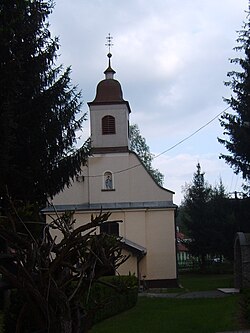
Domaháza is a village in Borsod-Abaúj-Zemplén County in northeastern Hungary. As of 2008 [update] it had a population of 903. [1]
References


